Skip to content
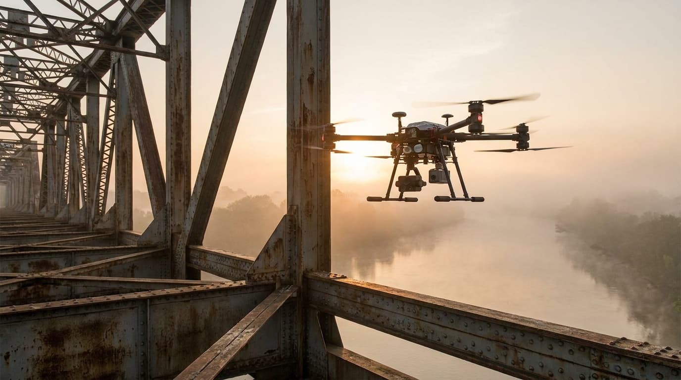
Commercial inspection drone operating beside a bridge

Commercial work · 11 mission lanes

Commercial drone industries

Start with the client problem. Then open the exact skills, equipment, rules, software, pricing, scope, and provider path for the work.

Mission systems checked July 20, 2026. Industry overviews are published only where the supporting guide is substantial.

Choose by client outcome

The aircraft is not the industry.

A listing shoot, a thermal inspection, a crop-scouting map, and an emergency response flight can use similar aircraft while demanding very different competence. These lanes organize the work around what the buyer must receive and trust.

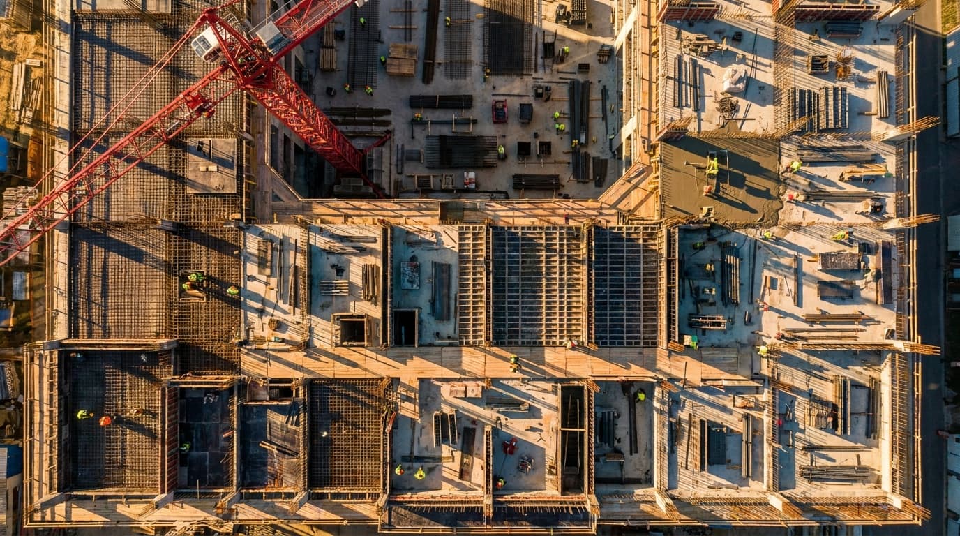
Top-down aerial view of an active construction site with a crane and crews

4 mission lanes

Property and the built environment

Create client records that stay useful after the flight: listing media, claim evidence, repeat construction views, maps, models, and measured site context.

01Property media

Real estate and property media

Typical buyer: Agents, brokers, property managers, short-term rental owners

The easiest paid lane to understand, but also the easiest to underprice. The work is usually legal, fast-turnaround aerial photos and short clips for listings or local marketing.

Common deliverables

Aerial photos · Short video clips · Neighborhood context · Basic edited gallery
02Property inspection

Roof and insurance inspection

Typical buyer: Adjusters, carriers, inspection networks, roofing firms

Higher documentation value than listing media. The pilot is often collecting evidence for a claim, underwriting file, or roof measurement workflow.

Common deliverables

Roof planes · Damage detail photos · Oblique property views · Inspection app upload

03Construction and property

Construction progress

Typical buyer: General contractors, owners, superintendents, developers

Recurring work where the client wants a record, not just pretty images. The value is consistency: same route, same altitude, same angles, same reporting cadence.

Common deliverables

Progress photos · Orthomosaic · 3D model · Stakeholder report · BIM or plan overlay

Construction industry overview
04Geospatial data

Mapping and survey support

Typical buyer: Surveyors, engineers, civil contractors, aggregates teams

A higher-skill data lane. You are usually supporting a licensed professional or producing planning-grade maps, volumes, contours, or point clouds.

Common deliverables

Orthomosaic · Point cloud · Contours · DSM/DTM · Cut-fill or stockpile volumes

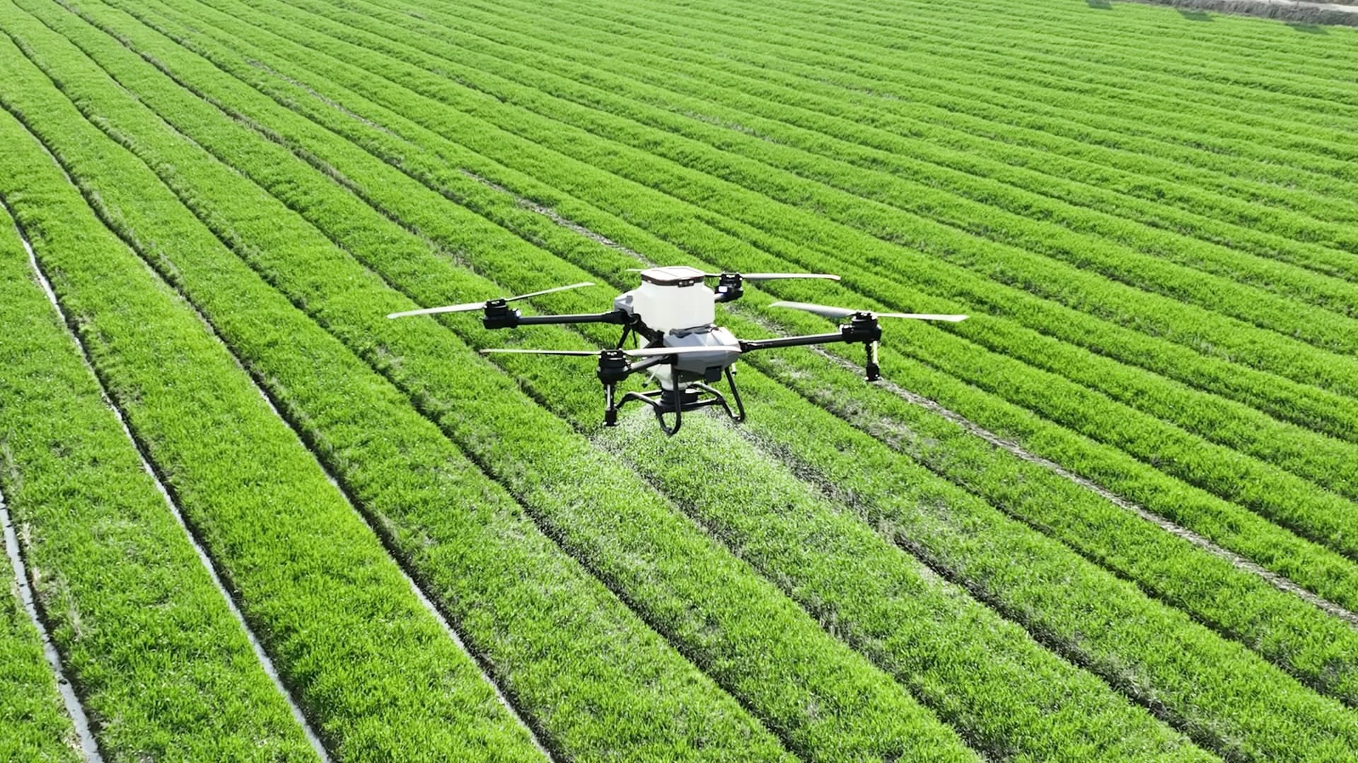
Agricultural drone flying above organized rows of green crops

3 mission lanes

Agriculture, land and environment

Turn repeat observation into a field decision without overstating what imagery proves. Chemical application remains a separate regulated operating system.

05Agriculture and land

Agriculture scouting and crop intelligence

Typical buyer: Growers, agronomists, crop consultants, researchers, and co-ops

Observation work that connects RGB, multispectral, thermal, stand-count, or repeat field imagery to a ground-truthed crop decision. The sensor shows patterns; an agronomist and field evidence determine what they mean.

Common deliverables

Scouting map · Anomaly layer · Stand or feature count · Ground-truth handoff

06Agriculture and land

Agriculture spraying

Typical buyer: Growers, co-ops, crop consultants, custom applicators

Not normal photo work. Dispensing chemicals or agricultural products can trigger FAA Part 137, Section 44807, state pesticide licensing, label rules, insurance, and reporting.

Common deliverables

Application map · As-applied record · Product usage report · Grower invoice · FAA or state records

07Science and environment

Conservation and environmental monitoring

Typical buyer: Land trusts, agencies, researchers, consultants, tribes, and watershed teams

Repeat observation of habitat, shoreline, vegetation, wildlife, erosion, restoration, or water extent. Study design, resource permission, disturbance limits, field samples, uncertainty, and sensitive-location handling define the work.

Common deliverables

Repeat habitat map · Change layer · Feature or species count · Terrain or structure model

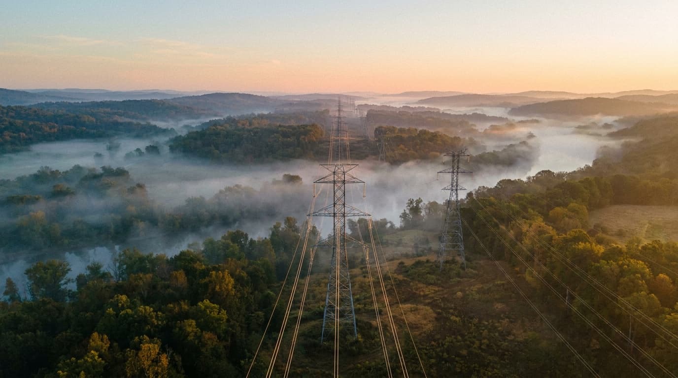
Transmission corridor and utility towers seen from the air at dawn

2 mission lanes

Infrastructure and public operations

Support asset owners and public agencies where repeatability, policy, sensor conditions, records, and safe integration matter more than a dramatic image.

08Inspection and infrastructure

Utility, telecom, and solar inspection

Typical buyer: Utilities, solar owners, telecom firms, infrastructure teams

Specialized inspection where the client usually cares about defect taxonomy, thermal quality, repeatability, and safe operation around critical assets.

Common deliverables

Thermal imagery · Defect log · Annotated asset report · Vegetation or access notes

Energy and utilities industry overview
09Public safety

Public safety program

Typical buyer: Police, fire, EMS, emergency management

Public agencies need repeatable procedures, policy, training, evidence handling, and sometimes a COA path. The drone is only one piece of the program.

Common deliverables

Search imagery · Incident overwatch · Scene map · Training record · Policy and SOP

Public safety industry overview
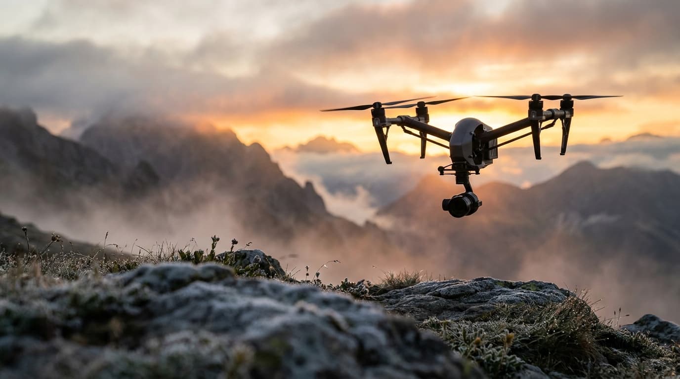
Cinema drone flying above a mountain landscape at sunrise

2 mission lanes

Media and production

Plan the aerial view as part of a larger editorial or production system, including permissions, crew coordination, verification, media custody, and final delivery.

10Film and production

Production and cinematography

Typical buyer: Studios, agencies, producers, tourism boards

High-upside creative work with heavier safety and paperwork expectations: location permission, insurance, operations over people analysis, and a production safety plan.

Common deliverables

Aerial footage · Shot plan · Flight safety brief · Permit packet · Production insurance docs

11Media and information

News and aerial journalism

Typical buyer: Newsrooms, stations, documentary teams, and publishers

A reporting lane where aerial context must survive both aviation review and editorial verification. Public value, scene safety, precise captions, privacy, and a traceable source record matter more than dramatic motion.

Common deliverables

Verified aerial stills · Context sequences · Repeat-view evidence · Editorial and aviation log

I want to do this work

Compare the full career paths.

Learn the workflow, build a narrow portfolio proof, understand the professional boundary, and price every hour around the flight.

Open the commercial career desk

I need the work completed

Define the job before requesting quotes.

Create a clean scope with deliverables, site constraints, timing, usage rights, insurance, and acceptance criteria, then search providers by capability.