Drone Authority · Guides · Industries
Drones in construction (2026)
By Joel Kelly
Last updated July 18, 2026. Regulations and hardware availability move quickly: verify current rules before operating.
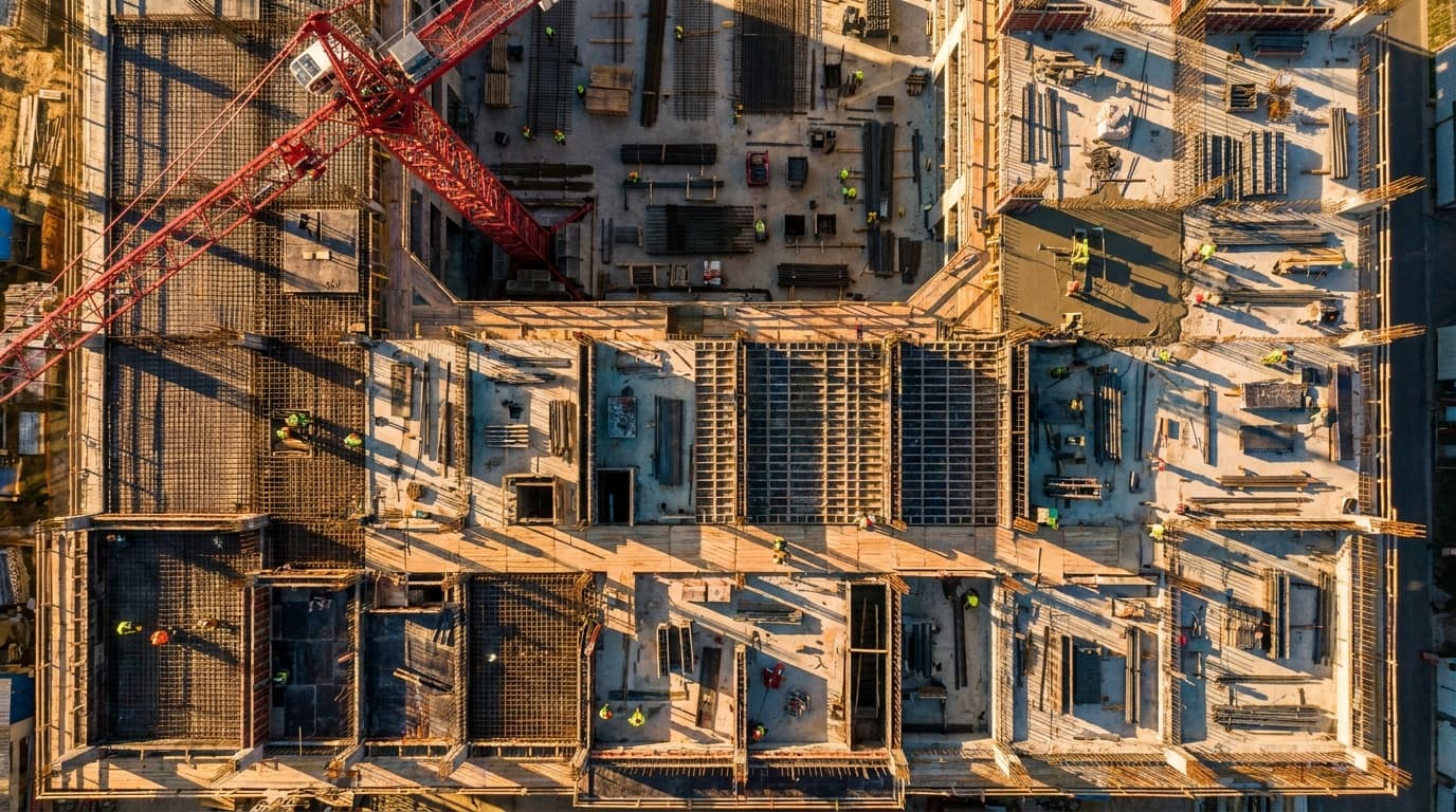
Construction is where drone ROI is most measurable: weekly progress flights replace site walks, photogrammetry replaces survey crew days for earthwork, and disputes settle against time-stamped aerial records. It's also the least regulation-encumbered enterprise vertical, most missions are plain Part 107 VLOS work, which makes it the easiest sector to start in and the most competitive to sell services into.
The standard missions
- •Progress documentation. Scheduled orthomosaic and oblique capture, the same flight path weekly, feeding owner reports and claims defense.
- •Earthwork volumetrics. Stockpile and cut/fill measurement via photogrammetry; survey-grade with RTK/PPK and ground control.
- •Preconstruction and site planning. Existing-conditions mapping and design overlay before mobilization.
- •Inspection. Roofs, facades, crane and steel work: standoff zoom instead of lifts and ladders.
- •Safety and logistics monitoring. Laydown, access, and housekeeping visibility for supers running multiple sites.
Hardware reality
Construction is the vertical where unrestricted buyers still commonly fly DJI mapping-class aircraft, no federal-funds trigger on most private work, but contractors touching government projects increasingly standardize on compliant platforms (Freefly Astro, WingtraOne for large sites, Skydio for inspection-heavy work) to keep every bid open. RTK positioning and ground control points are what separate marketing maps from measurement.
The regulatory picture
Mostly baseline Part 107: VLOS, under 400 feet, LAANC for controlled airspace near urban sites. The recurring edges: operations over people on active sites (category rules or scheduling around crews), night pours (routine with lighting + recurrent training), and crane/obstacle coordination. The compliance surface is small; the professionalism surface (insurance certificates, site-specific safety plans, data handling) is what wins contracts.
Deep dives: LAANC authorization guide · Operations over people · Night operations
Frequently asked questions
- What drone data do construction teams actually use?
- Four products carry the sector: orthomosaics (the weekly site map), 3D surface models for cut/fill and volumetrics, oblique progress photo sets for owners and claims, and inspection imagery. The capture is easy; the discipline is flying the same mission repeatably and processing into the project's existing software (Procore-class PM tools, GIS, or dedicated reality-capture platforms).
- How accurate is drone surveying for earthwork?
- With RTK/PPK positioning and ground control points, drone photogrammetry routinely delivers volumetric accuracy suitable for pay applications and progress measurement, and gets there in hours instead of survey-crew days. Uncontrolled consumer-drone maps are visualization, not measurement; the difference is positioning discipline, not the drone brand.
- Should a contractor build an in-house drone program or hire providers?
- Frequency decides. Weekly progress across active projects justifies an in-house pilot quickly; occasional volumetrics or LiDAR needs favor providers. Most GCs land hybrid: in-house for cadence work, specialists for survey-grade deliverables. Our start-a-program playbook covers the crossover math.
Keep going
Educational, not legal advice. FAA rules, procurement law, and hardware availability change quickly: verify current requirements at faa.gov and with counsel before operating.