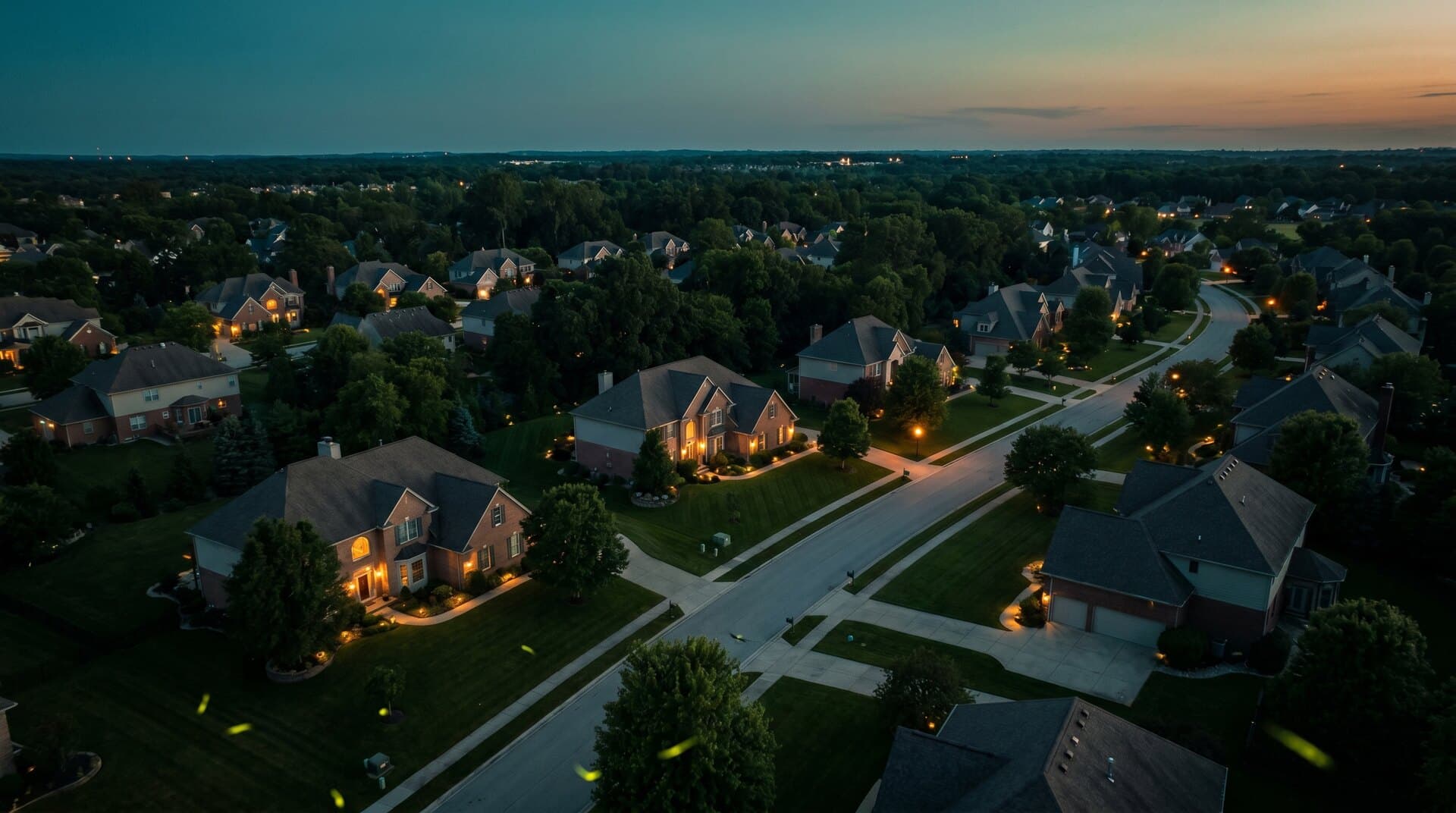
The direct answer
There is no nationwide rule that makes every private-property overflight legal or illegal.
The FAA has exclusive authority over aviation safety and efficient airspace use. States and local governments generally retain authority over conduct such as privacy, voyeurism, harassment, trespass, land use, takeoff and landing, and substantial interference with property. One flight can implicate both layers.
No magic altitude
Neither 83 feet nor 400 feet is a universal line between lawful flight and trespass.
The facts, the conduct, and the state law matter. Causby was not a drone-altitude chart.
Use this order
Three permissions, three different questions
May I stand, launch, and land here?
Ask the landowner or land manager. A No Drone Zone sign normally controls the launch and landing surface, not the airspace above it.
Authority 01
Property, land-use, park, or local authority
May the aircraft operate in this airspace?
Check FAA operating rules, controlled-airspace authorization, TFRs, special-use airspace, altitude, people, and every other federal flight restriction.
Authority 02
FAA and applicable federal airspace rules
May I collect and use this image, video, or audio?
Check state and local privacy, voyeurism, harassment, surveillance, recording-consent, and data-use rules. The answer can change with the subject and purpose.
Authority 03
State, local, contract, and property law
Scenario desk
The conduct matters more than the word overflight
A brief transit, a persistent hover, a real-estate shoot, and a camera aimed into a window are not the same operation. Use the facts that actually change the risk.
Passing over
A short transit above a parcel
Check the federal flight rules and the state's property and privacy law. Do not assume that ownership creates unlimited airspace, or that FAA compliance defeats every property claim.
Hovering
Remaining low over one home or yard
Duration, altitude, noise, camera direction, repeated visits, and interference with normal property use can change the analysis. Create distance or choose a different route.
Camera
Recording a yard, window, or person
Visible airspace is not a universal permission slip for surveillance. Check state imaging, voyeurism, harassment, and privacy rules, then collect only what the mission requires.
Audio
Capturing a private conversation
Audio can trigger communications-interception and state consent laws that silent video does not. Disable unnecessary audio and verify the rule before recording it.
Launch site
Taking off from a parcel, park, or sidewalk
Identify who controls the ground. Private ownership, leases, park rules, rights-of-way, permits, and local ordinances can control the operator's location even when the sky is otherwise available.
Paid mission
Real estate, inspection, mapping, or news
Part 107 is only the aviation layer. Add the property agreement, shot boundary, people plan, data rights, retention plan, and any state-specific imaging limits.
Professional operating standard
Collect the minimum footage the job actually needs
NTIA's voluntary best practices are not a national privacy statute, but they give responsible operators a useful baseline: provide notice when practical, avoid collecting where people reasonably expect privacy, limit retention, secure sensitive data, honor stated privacy practices, and create a way to handle questions or deletion requests.
Write the shot boundary first.
Define the subject, camera direction, altitude, neighboring exclusions, audio setting, storage period, access, and delivery rights before takeoff.
For a property owner
Respond to the behavior, not merely the sighting
- 01Note the time, place, duration, repeated behavior, camera direction, and any immediate safety hazard.
- 02If there is an immediate threat to people or property, contact local law enforcement. Privacy and trespass complaints are usually state or local matters.
- 03Report genuinely unsafe aircraft operation to the FAA with the facts you can document.
- 04Do not shoot at, jam, seize, or attempt to crash the aircraft. A complaint does not create private counter-drone authority.
Frequently asked questions
- Can I fly a drone over someone else's house?
- There is no single nationwide rule that makes every private-property overflight legal or illegal. The FAA regulates aviation safety and airspace use, while state and local privacy, voyeurism, harassment, trespass, nuisance, and property-interference rules may govern the conduct. A brief transit and repeated low hovering can present very different facts.
- At what altitude does drone trespass begin?
- No universal U.S. drone-trespass altitude exists. The FAA regulates UAS operations at every altitude, and state property law can address operations in the immediate reaches of property when they substantially interfere with actual use and enjoyment. The Causby case did not create an 83-foot rule for drones.
- Can a property owner prohibit drone takeoff and landing?
- Yes, a private landowner can generally prohibit takeoff and landing on the property through ordinary property and trespass law. A No Drone Zone sign ordinarily governs the ground, not the airspace. Public-property restrictions need an underlying legal authority such as an ordinance, rule, or land-use policy.
- Is hovering different from passing over?
- It can be. Repeated low hovering, persistent observation, window-facing camera use, noise, or interference with normal property use can create stronger privacy, nuisance, harassment, or trespass concerns than a brief transit. The exact legal result depends on the facts and the applicable state or local law.
- Can a homeowner shoot down or jam a drone?
- No private property complaint creates counter-drone authority. The FAA says private citizens may not shoot at drones, and intentionally damaging aircraft can trigger federal and other penalties. Radio jamming can also violate federal communications law. Document the conduct and use the appropriate reporting channel instead.
- Does a Part 107 certificate override privacy law?
- No. Part 107 authorizes an aviation operating path. It does not grant a right to enter land, record private activity, ignore state surveillance rules, or use collected data for any purpose.
Continue the check
Add the rule for the exact state and launch site
Primary sources
The federal boundary, with state questions left to the state
- FAA and DOT, 2023 State and Local Regulation of UAS Fact Sheet
- FAA Aeronautical Information Publication, ENR 8.4 Airspace Access for UAS
- FAA, What To Know About Drones
- 49 U.S.C. 40103, sovereignty and use of airspace
- United States v. Causby, 328 U.S. 256 (1946)
- NTIA, Voluntary Best Practices for UAS Privacy, Transparency, and Accountability
- 18 U.S.C. 2510-2511, communications interception definitions and prohibition
- 18 U.S.C. 32, destruction of aircraft
Reviewed July 28, 2026. Privacy, property, recording, tort, and local preemption questions vary by jurisdiction and facts. This guide is educational, not legal advice, a court opinion, or flight authorization.