On this page
What the work is
A drone is a repeatable observation or application platform. RGB imagery shows visible field conditions. Multispectral sensors measure selected bands such as red edge and near infrared. Radiometric thermal sensors estimate surface temperature. Spray aircraft dispense material. None of those outputs explains a crop problem by itself; useful work connects aerial patterns to field inspection, crop knowledge, and a management decision.
The client question
What field decision must happen next: where to scout, how many plants emerged, where irrigation differs, what zone needs an agronomist, or where an approved treatment should be applied?
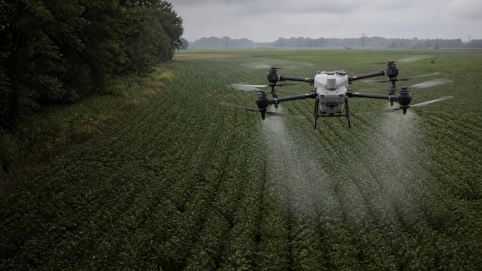
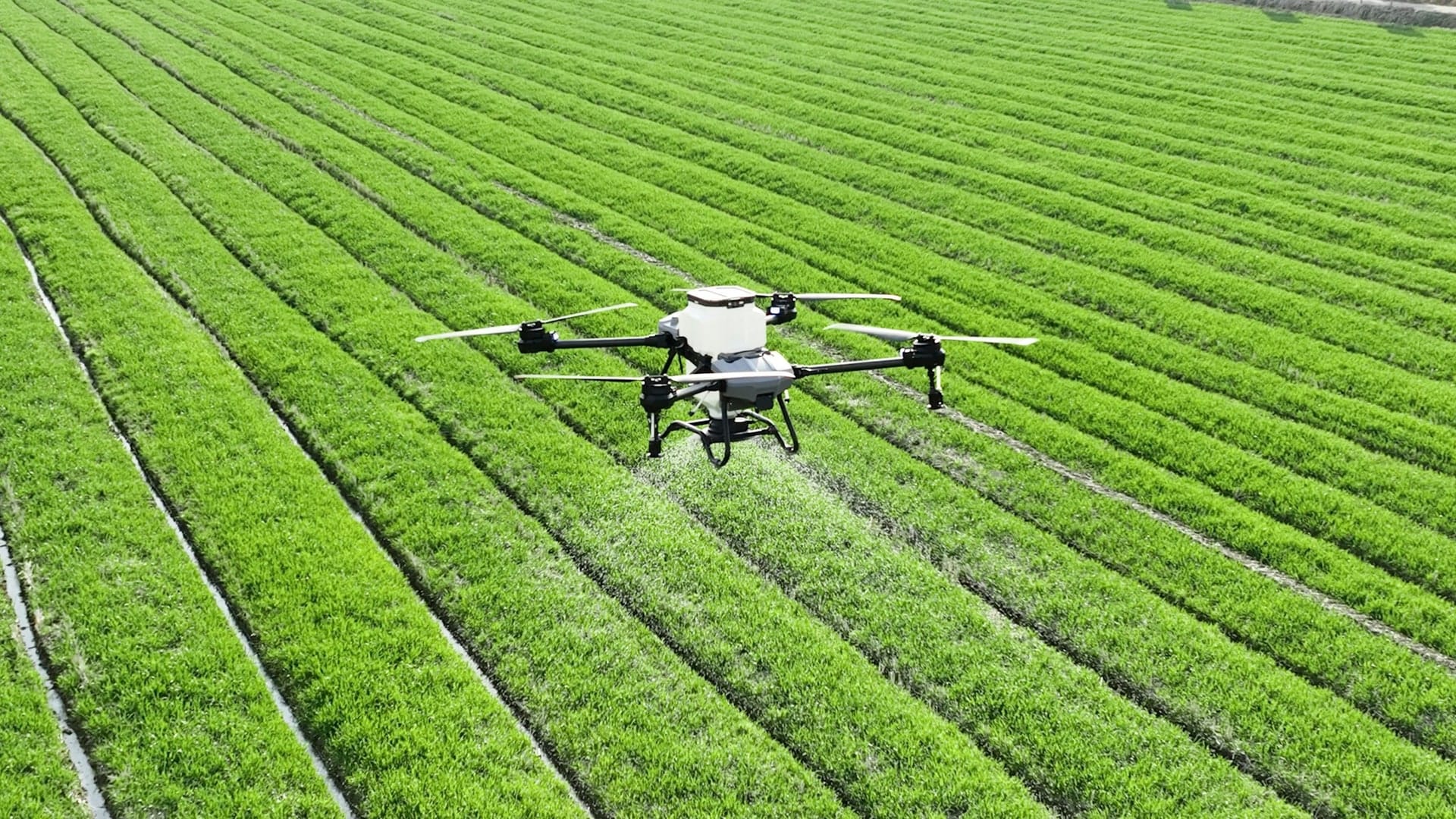
The most realistic beginner offer is repeatable RGB scouting or stand documentation for a grower, agronomist, seed dealer, or orchard manager. Multispectral indices require calibration and ground truth. Spraying is a separate aviation and pesticide-application business with Part 137, possible Section 44807 relief for aircraft at or above 55 pounds loaded, state credentials, label compliance, insurance, chemical handling, and records.
What clients buy
The output defines the job. Name the file, its acceptance test, who reviews it, and what it cannot prove before the aircraft launches.
RGB field mosaic and issue map
A current visual field map with geotagged observations and polygons that direct a person to inspect specific areas.
Delivered as
GeoTIFF, PDF overview, GeoJSON/GPKG issue layer, source photos
Stand count or plant inventory
A repeatable count with crop stage, row spacing, sample method, confidence, and excluded areas recorded. Validate aerial counts against field samples.
Delivered as
CSV, map layer, annotated imagery, methods note
Multispectral zones
Calibrated band imagery and relative NDVI/NDRE patterns used to prioritize ground scouting. An index is not a diagnosis of nitrogen, disease, or yield.
Delivered as
Band GeoTIFFs, index raster, management zones, calibration record
Thermal anomaly map
Radiometric source data and relative temperature patterns with time, weather, emissivity, solar conditions, and corroborating RGB observations.
Delivered as
Radiometric files, thermal mosaic, anomaly polygons, conditions report
Prescription and as-applied records
A machine-compatible treatment plan owned by the qualified agronomic workflow, plus the actual rate, material, weather, operator, location, and time applied.
Delivered as
Vendor prescription file, SHP/ISOXML where supported, application log, PDF record
Choose one specialty
Choose a row before choosing gear. Each specialty has its own buyer, acceptance standard, vocabulary, safety system, and person who owns the final conclusion.
RGB crop scouting
BeginnerBuyer and output
Growers, agronomists, seed dealers, crop consultantsCurrent field mosaic, issue polygons, geotagged ground photos, and a scouting handoff.
What to learn
Crop stages, visible stress patterns, field access, repeat capture, GIS observations, and ground verification.
Conclusion owner
Document where to inspect. Do not diagnose disease, fertility, chemical need, or yield from color alone.
Stand counts and orchard inventory
IntermediateBuyer and output
Seed companies, growers, orchard managers, researchersCount layer, excluded areas, sampling checks, confidence, and repeat comparison.
What to learn
Row spacing, emergence stage, occlusion, object detection, sampling, false positives, and validation.
Conclusion owner
A model count is an estimate. State detection conditions and compare it against independent field samples.
Multispectral crop zones
IntermediateBuyer and output
Agronomists, retailers, research and precision-ag teamsCalibrated band rasters, NDVI/NDRE or other index, relative zones, and ground-truth record.
What to learn
Reflectance calibration, solar window, band alignment, index math, field sampling, and agronomic interpretation.
Conclusion owner
An index shows relative spectral response. A qualified advisor explains what caused the pattern and what action is appropriate.
Thermal irrigation and stress
AdvancedBuyer and output
Irrigation managers, specialty crops, researchersRadiometric source files, thermal mosaic, anomaly layer, RGB context, and capture-condition report.
What to learn
Emissivity, reflected energy, wind, canopy, sun, water, sensor calibration, and temperature uncertainty.
Conclusion owner
A hot or cool area is a clue, not automatic proof of irrigation failure, disease, or plant stress.
Agricultural spraying
Regulated teamBuyer and output
Growers, co-ops, custom applicators, crop-protection firmsValidated prescription, as-applied map, material/rate/weather records, operator record, and invoice.
What to learn
Part 137, aircraft weight path, state aerial and pesticide licensing, labels, chemical handling, tender logistics, drift, PPE, maintenance, and insurance.
Conclusion owner
Part 107 alone does not authorize dispensing. The label, FAA certificate/exemptions, state credentials, and qualified treatment decision all remain controlling.
From scope to handoff
- Step 1 of 6
Start with the agronomic decision
Ask what action the grower or advisor will take. Choose RGB, multispectral, thermal, or application only after the decision, timing window, crop stage, and ground-truth plan are defined.
- Step 2 of 6
Plan repeatable capture
Map the field boundary and obstacles, confirm airspace and permission, use a suitable overlap and ground resolution, and keep solar time and calibration consistent for comparative spectral work.
- Step 3 of 6
Calibrate and record conditions
Use the sensor's reflectance panel or irradiance workflow when applicable. Record weather, sun, crop stage, camera settings, height, and anomalies that could distort comparison.
- Step 4 of 6
Process patterns, not diagnoses
Build mosaics or index layers, remove obvious artifacts, and classify zones. Treat color differences as leads for investigation until a field inspection or qualified advisor explains them.
- Step 5 of 6
Ground-truth the map
Walk high, medium, and low zones. Capture photos and notes. Compare aerial counts or anomalies with actual plants, pests, moisture, compaction, irrigation, or management history.
- Step 6 of 6
Deliver the action layer
Package only the fields and formats the grower, agronomist, or machine can use. State uncertainty, excluded areas, calibration method, and who owns the treatment decision.
Equipment by capability
Buy from the accepted output backward. A more expensive sensor cannot rescue a vague scope, weak method, invalid conditions, or missing review authority.
- Capability 01RGB first
- A sharp RGB camera can support scouting, emergence documentation, storm damage, drainage patterns, orchard inventory, and field context. It is the right place to learn.
- Capability 02Multispectral
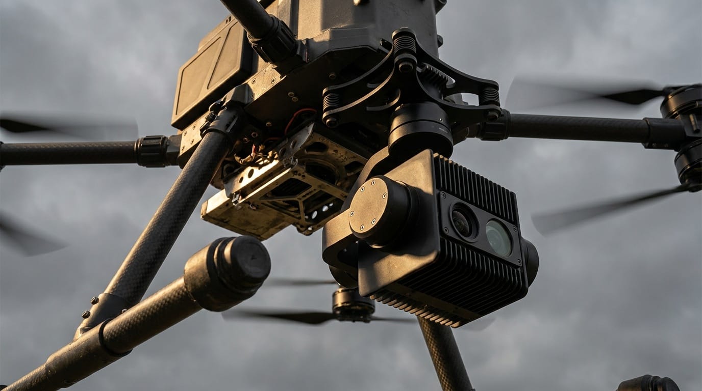
- Sensors such as the Mavic 3 Multispectral record selected bands plus irradiance information. The workflow needs calibration, comparable lighting, and field interpretation.
- Capability 03Radiometric thermal
- Use a radiometric sensor when temperatures matter. Wind, sun angle, emissivity, reflected temperature, water, and canopy structure can dominate what the image appears to say.
- Capability 04Spray platform
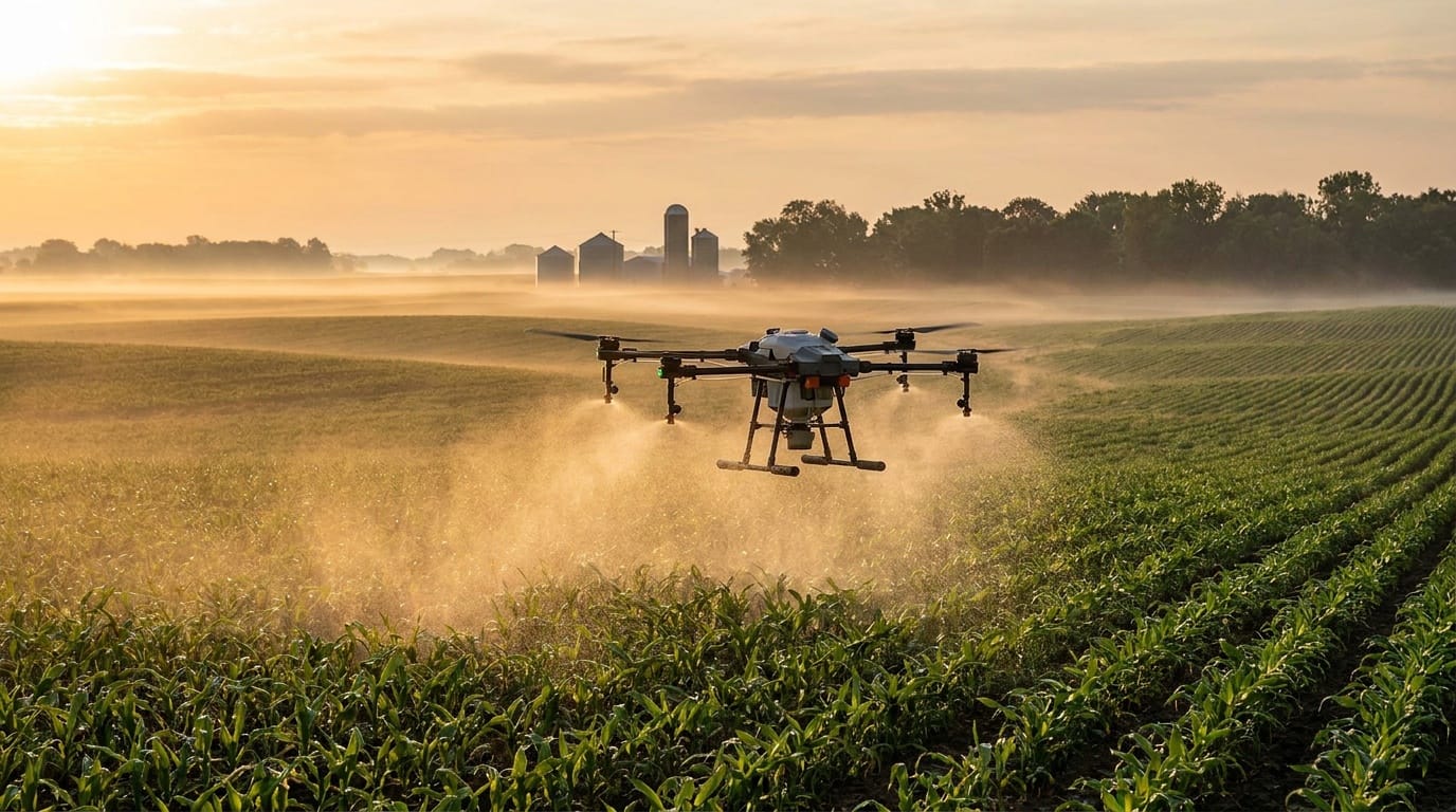
- Spray drones are aircraft, chemical systems, chargers, pumps, tanks, tender vehicles, PPE, containment, batteries, generators, spares, and records. Many cross the 55-pound loaded threshold.
Software by role
Flight planning, processing, GIS, asset analysis, client delivery, and job sourcing are different jobs. Confirm aircraft, controller, payload, operating-system, export, storage, and offline compatibility before paying for a subscription.
- PIX4Dfields
Role
Rapid field mosaics, crop indices, zonation, and prescription workflows
Use it when
You need agriculture-specific analysis and export rather than general 3D reconstruction.
- Sentera FieldAgent
Role
Field imagery, scouting, mosaics, and crop analytics
Use it when
A Sentera-centered sensor and agronomy workflow fits the operation.
- Agremo
Role
Stand counts, crop health analysis, and prescription-oriented analytics
Use it when
You want a managed crop-analysis workflow and will validate its outputs.
- DJI Terra
Role
DJI RGB, multispectral, and LiDAR processing
Use it when
Your capture stack is DJI Enterprise and the required output is supported.
- QGIS
Role
Field boundaries, issue layers, zonation QA, joins, and deliverable packaging
Use it when
You need to inspect, edit, and export spatial data independent of the vendor platform.
Need the whole ecosystem? Open the drone work software guide.
How to learn the work
- Step 1 of 5
Learn the crop calendar
Shadow a grower, crop consultant, extension specialist, or seed agronomist. Know which questions matter at emergence, vegetative growth, flowering, irrigation, stress, and harvest.
- Step 2 of 5
Master RGB scouting
Create a repeatable field mosaic, mark anomalies, walk them, and compare what the image suggested with what was actually present.
- Step 3 of 5
Add GIS and sampling
Learn field boundaries, coordinate systems, geotagged observations, stratified sampling, CSV joins, and simple zone exports in QGIS.
- Step 4 of 5
Introduce one calibrated sensor
Repeat a field in a consistent solar window, retain calibration data, and compare spectral or thermal patterns against ground observations.
- Step 5 of 5
Approach spraying as a separate company
Read the FAA Part 137 process, contact the state pesticide agency, study labels, estimate tender and refill logistics, obtain insurance quotes, and secure likely acreage before buying the aircraft.
Scouting demand follows the crop calendar: emergence checks after planting, stress and irrigation flights mid-season, and stand documentation ahead of harvest. Our sister site Sprout Authority publishes a free planting calendar that shows when crops go in the ground by region. A pilot who knows the local planting and harvest windows can pitch repeat scouting work at the moments a grower actually needs it.
A starter project worth showing
Field assignment
Build a crop-scouting handoff, not an NDVI sales pitch
With permission, map one field using RGB, identify five visual anomalies, walk each location, and deliver a map that helps an agronomist decide what to inspect next.
Acceptance checklist
- Field boundary and excluded areas are explicit
- Capture date, crop stage, height, GSD, overlap, and conditions recorded
- Every aerial anomaly has a ground photo and note
- No disease, fertility, or yield diagnosis is made from color alone
- GeoTIFF plus issue layer opens in QGIS
Where the pilot role stops
Do not sell past your competence
- Limit 01Part 107 governs the flight. It does not authorize pesticide application, agronomic advice, or every aircraft weight.
- Limit 02Part 137 and state pesticide, aerial-applicator, business, and aircraft rules can all apply to spraying.
- Limit 03The pesticide label is enforceable. Crop, site, method, rate, droplet, buffer, weather, and records must match it.
- Limit 04NDVI and NDRE show relative spectral patterns. Ground truth and agronomic context are needed to explain the cause.
Primary sources
These links are the starting point for current rules, methods, and professional boundaries. Vendor documentation explains a product; it does not replace the FAA, a regulator, a project specification, or a qualified reviewer.
- FAA: Dispensing chemicals and agricultural products
Part 137, exemptions, certification steps, and weight paths.
- EPA: Certification standards for pesticide applicators
Federal baseline and state-administered certification.
- Purdue Extension UAV resources
Field capture, stitched imagery, scouting, and prescription context.
- Penn State Extension: Drones in agriculture
Sensor selection and the importance of field observation.
Next steps
Open the guide or tool that matches the next decision.
- Commercial requirements checkerSee when Part 137, Section 44807, airspace, or other approvals enter the stack.
- Photogrammetry and mappingLearn overlap, control, processing, GIS, and defensible accuracy.
- Drone work software stackCompare agriculture, mapping, planning, and delivery tools by role.
- Estimate acres, loads, and field timeSeparate theoretical straight-pass capacity from application volume, tank loads, battery cycles, turns, setup, and service stops.
- Build the mission equipment systemChoose the minimum aircraft, payload, power, field, software, QA, and delivery stack.
- Build the portfolio proofTurn this work into a permissioned sample with a brief, method, finished files, QA evidence, and handoff.
- Build the legal requirement stackCheck mission, airspace, people, night, aircraft, and approval triggers.
- Price the entire missionInclude travel, capture, processing, subscriptions, insurance, reserve, and tax.
- Build the operating briefRecord the crew, aircraft, site, weather, hazards, mitigations, contingencies, and flight outcome.
- Build the system around this workConnect the deliverable to its aircraft, payload, software, support, and approval path.
- Hire an experienced providerSearch the national directory when the mission is beyond your current aircraft, training, or risk tolerance.