On this page
What the work is
A drone inspection converts a physical asset into a reviewable evidence set. The aircraft provides access and viewpoint; the professional workflow defines what to capture, how to label it, how to preserve metadata, what conditions make it valid, and who is qualified to interpret the defect.
The client question
Which asset condition must a qualified reviewer confirm, how should every component be identified, and what evidence makes the finding traceable over time?
The cleanest entry is capture support for an engineering, utility, roofing, telecom, solar, or inspection company that already owns the defect standard. Learn their naming convention and acceptance checklist. Do not market yourself as an engineer, thermographer, electrical inspector, bridge inspector, or claims adjuster simply because you can photograph the asset.
What clients buy
The output defines the job. Name the file, its acceptance test, who reviews it, and what it cannot prove before the aircraft launches.
Component-indexed visual set
Consistent wide, context, and detail images tied to an asset ID, component, side, elevation, date, and capture notes.
Delivered as
Original JPEG/DNG, annotated gallery, CSV manifest
Thermal inspection package
Radiometric data captured under valid load, irradiance, wind, angle, emissivity, and reflection conditions, then reviewed by a qualified thermographer or domain specialist.
Delivered as
Radiometric source, RGB pairs, anomaly log, conditions report
Corridor or site model
Orthomosaic, point cloud, clearance model, or change layer built with enough control and coverage for the stated planning purpose.
Delivered as
GeoTIFF, LAZ, web scene, KML/GeoPackage, PDF
Defect register
A traceable list with asset ID, location, component, observation, severity scheme, evidence links, reviewer, status, and comparison to prior inspections.
Delivered as
CSV/API export, inspection platform record, PDF summary
Choose one specialty
Choose a row before choosing gear. Each specialty has its own buyer, acceptance standard, vocabulary, safety system, and person who owns the final conclusion.
Roads and highways
AdvancedBuyer and output
Transportation agencies, civil firms, contractors, ownersCorridor orthomosaic, geotagged obliques, pavement/shoulder/drainage/guardrail/sign inventory, point cloud, profiles, and change map.
What to learn
Stationing, right of way, pavement distress, drainage, coordinate systems, traffic control, MUTCD work zones, and corridor QA.
Conclusion owner
A PE owns engineering condition or design conformance. A PLS may be required for authoritative right-of-way, elevation, or survey products.
Bridges
Regulated teamBuyer and output
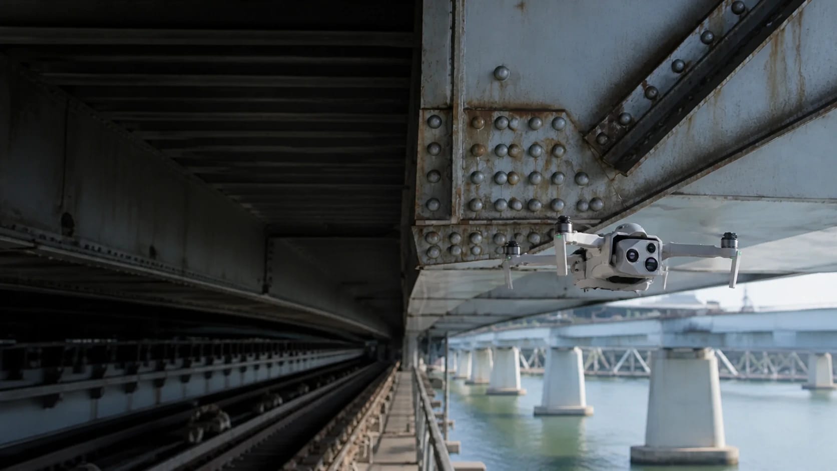
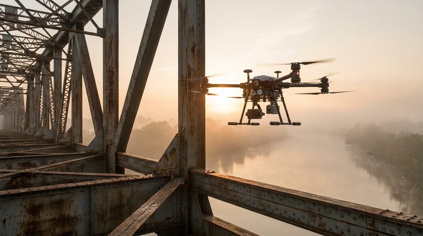
Bridge owners, DOTs, inspection and engineering firmsComponent-keyed overview, elevation and underside imagery, source-linked candidate observations, mesh, and comparison record.
What to learn
Bridge components, materials, corrosion, spalling, fatigue, access, lighting, NBIS roles, and hands-on inspection limits.
Conclusion owner
UAS supplements but does not replace tactile, auditory, sounding, or required hands-on work. The qualified NBIS team leader owns the report; load ratings require a PE.
Power lines and vegetation
AdvancedBuyer and output
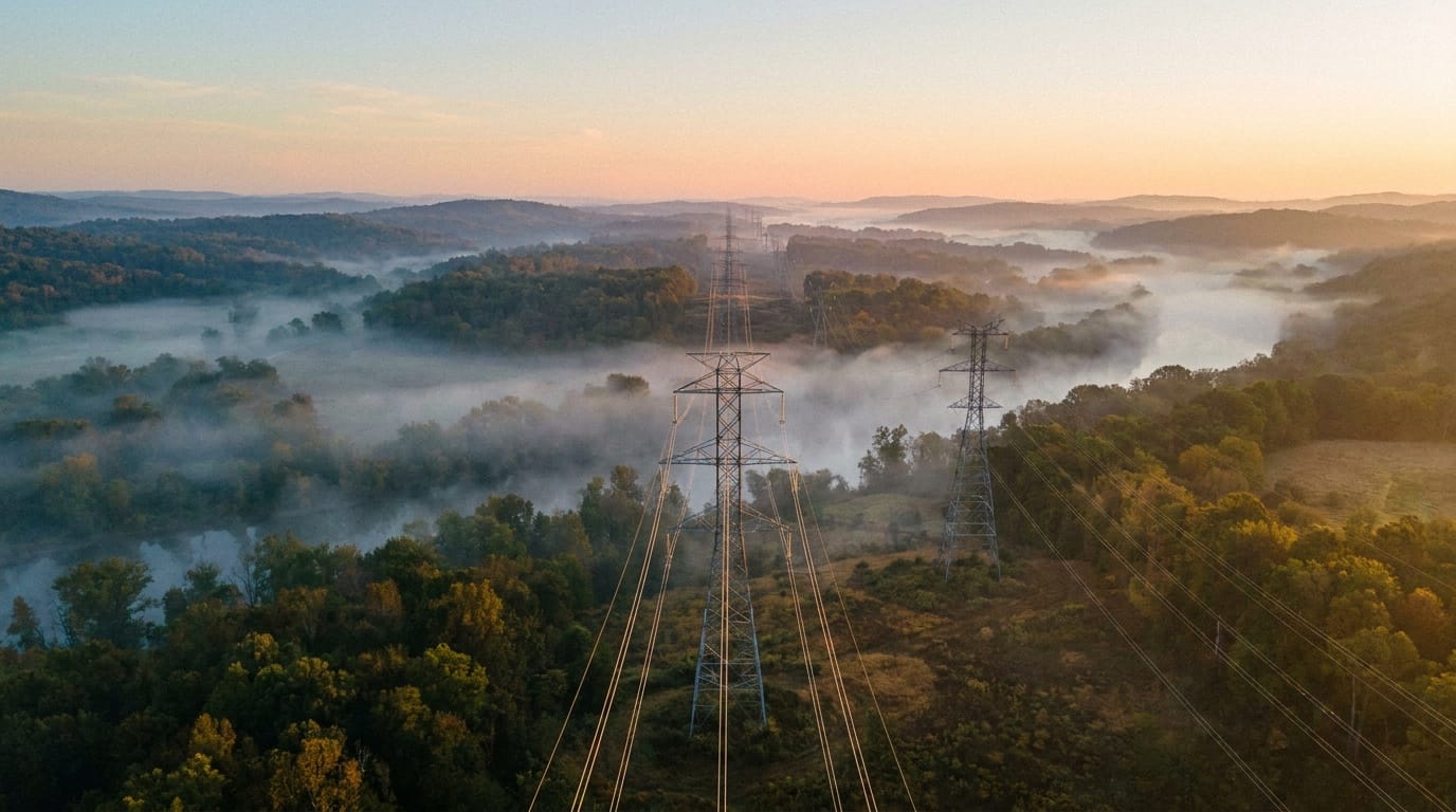
Utilities, engineering firms, vegetation-management teamsPole/tower/component imagery, radiometric thermal evidence, corridor model, vegetation/clearance observations, and GIS-ready asset records.
What to learn
Circuit and hardware vocabulary, thermography, LiDAR, vegetation rules, owner asset schema, energized-site hazards, job briefings, and RF/electromagnetic limitations.
Conclusion owner
The utility's qualified reviewer, electrical engineer, thermographer, or vegetation specialist owns the finding. Worker approach tables are not universal drone standoff rules.
Telecom towers
AdvancedBuyer and output
Carriers, tower companies, engineering and maintenance firmsFace-by-face images, antenna/mount/cable inventory, sector IDs, azimuth/tilt/height observations, lighting images, and 3D context.
What to learn
Monopole/lattice/guyed structures, appurtenances, sector naming, guy wires, RF zones, site induction, and TIA terminology.
Conclusion owner
Structural capacity or modification belongs to a PE. RF shutdown, exposure, and exclusion decisions belong to qualified site personnel.
Rail corridors
Regulated teamBuyer and output
Railroads and authorized engineering or inspection contractorsCorridor ortho/point cloud, crossing sight-distance context, drainage/vegetation/embankment observations, culvert inventory, and storm-change record.
What to learn
Mileposts, track components, dispatch, roadway-worker protection, fouling limits, crossing geometry, catenary, and railroad qualification.
Conclusion owner
A railroad-designated qualified person owns a compliant track inspection. Ground crews need the railroad's protection process.
Pipelines
Regulated teamBuyer and output
Pipeline operators and authorized integrity or patrol contractorsGeoreferenced right-of-way patrol log, encroachment/erosion/washout/landslide events, markers, crossings, change layers, and calibrated gas-sensor records where applicable.
What to learn
Operator patrol procedures, integrity vocabulary, GIS schema, abnormal-condition escalation, sensor physics, wind, calibration, and BVLOS approval paths.
Conclusion owner
The operator decides whether a method satisfies patrol rules. A detection is not automatically leak location, flow rate, or integrity conclusion.
Roofs and property
BeginnerBuyer and output
Roofing firms, carriers, adjusters, property and inspection networksRoof-plane, ridge, eave, penetration, flashing and condition images, app upload, measurement context, and optional thermal evidence.
What to learn
Carrier shot lists, roof assemblies, safe appointment conduct, privacy, file metadata, glare, and valid thermal conditions.
Conclusion owner
The pilot documents. The adjuster owns coverage and valuation; a roof professional or PE owns applicable condition or structural conclusions.
Solar arrays
IntermediateBuyer and output
Solar owners, O&M firms, EPCs, asset platformsComponent-indexed RGB and radiometric thermal dataset, anomaly table, temperature delta, confidence, weather/irradiance log, and QA report.
What to learn
PV topology, module/string/inverter IDs, reflections, emissivity, wind, clouds, irradiance, operating state, and thermal capture protocols.
Conclusion owner
A qualified thermographer, PV reviewer, or electrical engineer approves classifications and remedies.
Wind turbines
AdvancedBuyer and output
Wind owners, OEMs, inspection and maintenance firmsBlade/side/span-indexed imagery, candidate map for erosion/cracks/lightning/coating, tower and nacelle imagery, and trend comparison.
What to learn
Blade construction and zones, OEM taxonomy, turbine shutdown/positioning, lighting, safe standoff, and site LOTO process.
Conclusion owner
Visible imagery can miss subsurface damage. Shutdown and finding conclusions belong to authorized site and engineering personnel.
From scope to handoff
- Step 1 of 6
Choose one asset and one reviewer
Get the owner's inspection standard, asset hierarchy, required views, naming rules, defect examples, and rejection criteria. Confirm who will interpret and sign off.
- Step 2 of 6
Plan hazards and access
Review energized equipment, traffic, rail, RF exposure, guy wires, structures, work crews, electromagnetic interference, right-of-way access, controlled airspace, critical-infrastructure rules, and emergency actions.
- Step 3 of 6
Build a repeatable shot list
Map every asset ID to wide, context, and detail images. Set minimum pixel detail, oblique angles, standoff, sun position, thermal conditions, and metadata before launch.
- Step 4 of 6
Capture with a quality gate
Check focus, motion blur, glare, occlusion, angle, component coverage, and asset labels while on site. Retake weak evidence before moving to the next structure.
- Step 5 of 6
Index and preserve
Keep originals, metadata, flight logs, calibration files, and chain-of-custody requirements. Match evidence to the correct component before analysis or client upload.
- Step 6 of 6
Separate observation from conclusion
A pilot can document a hotspot, crack-like feature, vegetation proximity, missing hardware, or surface condition. The qualified reviewer determines whether it is a defect and what action it warrants.
Equipment by capability
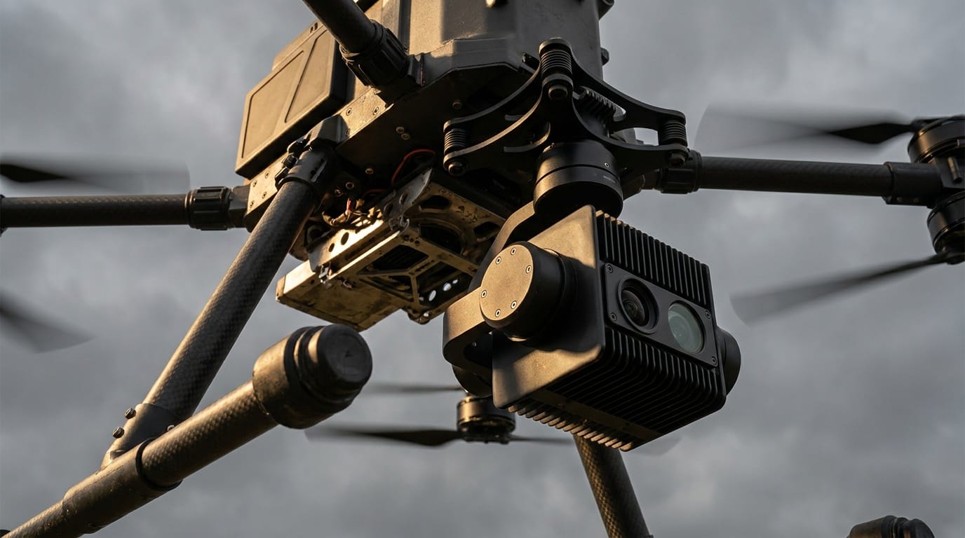
Buy from the accepted output backward. A more expensive sensor cannot rescue a vague scope, weak method, invalid conditions, or missing review authority.
- Capability 01High-resolution RGB and zoom
- Inspection value often comes from resolving a known component at a safe standoff. Know the sensor's actual pixel detail, stabilization, wind limits, and autofocus behavior.
- Capability 02Radiometric thermal
- Useful for solar, electrical, roof, and envelope work only when capture conditions and interpretation support the temperature claim.
- Capability 03LiDAR
- Useful for corridors, clearances, structures, and terrain when trajectory and classification are controlled. It introduces a much heavier processing and accuracy workflow.
- Capability 04Procurement-compliant fleet
- Government, utility, and critical-infrastructure buyers may require NDAA, Blue UAS, cybersecurity, data-location, or approved-component documentation.
Software by role
Flight planning, processing, GIS, asset analysis, client delivery, and job sourcing are different jobs. Confirm aircraft, controller, payload, operating-system, export, storage, and offline compatibility before paying for a subscription.
- DroneDeploy
Role
Repeat-site capture, reality models, issue annotation, and team sharing
Use it when
A construction or asset owner wants one cloud workspace and recurring records.
- Zeitview
Role
Managed capture and analytics for property, solar, wind, telecom, and other assets
Use it when
You are joining a defined enterprise capture network or buying managed inspection output.
- Raptor Maps
Role
Solar asset intelligence and inspection workflow
Use it when
The client operates solar assets and expects component-level thermal and lifecycle data.
- UgCS
Role
Corridor, terrain-following, and complex mission planning
Use it when
The aircraft is supported and a route needs more control than a simple grid.
- QGIS / ArcGIS
Role
Corridor layers, asset joins, spatial QA, and enterprise GIS handoff
Use it when
The deliverable must connect imagery or defects to the owner's existing asset system.
Need the whole ecosystem? Open the drone work software guide.
How to learn the work
- Step 1 of 5
Pick an asset class
Choose roofs, solar, telecom, roads, construction, wind, utilities, rail, or bridges. Read its inspection terminology and safety requirements before buying another sensor.
- Step 2 of 5
Work backward from a defect library
Study real component names and defect examples from an owner, manufacturer, course, or qualified partner. Build a capture checklist for each one.
- Step 3 of 5
Practice evidence consistency
Photograph the same legal practice asset from a repeatable set of viewpoints. Name every file and build a manifest that another reviewer can follow without you.
- Step 4 of 5
Add domain training
Thermography, OSHA/site safety, utility or telecom induction, construction PPE, and software certification can matter more than cinematic flight skill.
- Step 5 of 5
Enter as a capture subcontractor
Partner with the professional or organization that owns analysis, reporting, and liability. Earn deeper responsibility after your evidence repeatedly passes QA.
A starter project worth showing
Field assignment
Create a component-indexed inspection set
With permission, choose a small noncritical structure or solar mock-up, define 12 components, capture repeatable views, and hand the dataset to another person to navigate.
Acceptance checklist
- Every component has a unique ID
- Wide, context, and detail views are present
- No critical area is hidden by glare or blur
- Original metadata is retained
- A reviewer can find any component from the manifest in under 30 seconds
Where the pilot role stops
Do not sell past your competence
- Limit 01Asset imagery is not automatically an engineering, electrical, roofing, bridge, or code inspection.
- Limit 02Thermal color palettes do not prove a defect. Radiometric data, valid conditions, and competent interpretation matter.
- Limit 03Critical-infrastructure, cybersecurity, procurement, RF, road, rail, and right-of-way requirements vary by client and jurisdiction.
- Limit 04Routine corridor BVLOS needs an FAA approval path; a long asset does not create an exception to VLOS.
Primary sources
These links are the starting point for current rules, methods, and professional boundaries. Vendor documentation explains a product; it does not replace the FAA, a regulator, a project specification, or a qualified reviewer.
- FAA Part 107 waivers
Federal waiver path for operations such as BVLOS.
- NIST UAS standard test methods
Repeatable proficiency and response-robot testing context.
- FLIR: Thermal imaging principles
Emissivity and interpretation limitations.
- FCC Covered List
Current communications-equipment procurement context; confirm client requirements.
Next steps
Open the guide or tool that matches the next decision.
- Photogrammetry and mappingBuild corridor, site, and model outputs with defensible QA.
- Commercial drone insuranceMatch aviation, equipment, general liability, and client requirements.
- Requirements checkerReview airspace, night, people, BVLOS, weight, and mission-specific approvals.
- Build the inspection capture scopeChoose the structure and assignment, then generate the shot list, record fields, field controls, QA checks, package, and qualified-review handoff.
- Build the mission equipment systemChoose the minimum aircraft, payload, power, field, software, QA, and delivery stack.
- Build the portfolio proofTurn this work into a permissioned sample with a brief, method, finished files, QA evidence, and handoff.
- Build the legal requirement stackCheck mission, airspace, people, night, aircraft, and approval triggers.
- Price the entire missionInclude travel, capture, processing, subscriptions, insurance, reserve, and tax.
- Build the operating briefRecord the crew, aircraft, site, weather, hazards, mitigations, contingencies, and flight outcome.
- Build the system around this workConnect the deliverable to its aircraft, payload, software, support, and approval path.
- Hire an experienced providerSearch the national directory when the mission is beyond your current aircraft, training, or risk tolerance.