Drone laws
Drone laws, untangled
The rules feel scattered because they arrive from three layers at once. One principle makes sense of all of it.
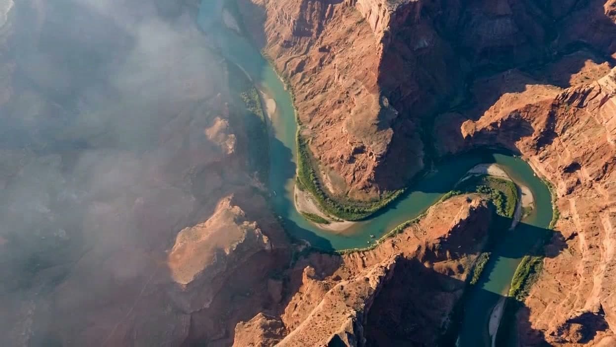 38.30°N 110.18°W
The one principle
The FAA governs aviation and airspace. Landowners and land managers govern the ground. State and local law can govern privacy and conduct.
One operation can need three different yes answers. A federal certificate never grants launch permission or erases a state privacy rule.
The federal floor
Six rules that apply everywhere
- 01Registration
- Register at FAADroneZone ($5, 3 years) if your drone is 250 g or heavier, or for any commercial flight regardless of weight.
- 02Remote ID
- Any drone that must be registered must broadcast Remote ID: built in, via a broadcast module, or by flying only within a FRIA.
- 03Altitude
- Stay at or below 400 ft above ground level, or within 400 ft of a structure under Part 107.
- 04Airspace
- Get FAA authorization before flying in controlled airspace near airports. Eligible LAANC requests can be approved in near real time; uncontrolled Class G needs no airspace authorization.
- 05Line of sight
- Keep the drone within visual line of sight. Beyond-line-of-sight flight needs a waiver (the Part 108 framework is in rulemaking).
- 06No-fly zones
- Do not launch or land on National Park Service property, enter TFRs or stadium restrictions, or fly over FAA-designated national-security-sensitive facilities.
In depth
Each federal rule, in full
The essentials are the floor. Each has its own breakdown, sourced to the FAA and current as of July 2026.
Part 107
The commercial Remote Pilot Certificate: who needs it, the test, and the core operating rules.
Part 107 waivers
When to comply, request airspace authorization, apply for a waiver, or use a different FAA path, plus the safety evidence the application needs.
Recreational + TRUST
The fly-for-fun exception (Section 44809), the free TRUST test, and the eight rules.
Registration
The 250 g threshold, the $5 fee, and the step-by-step FAADroneZone process.
Remote ID
Your drone's digital license plate and the three legal ways to comply.
Airspace & LAANC
Controlled vs uncontrolled, the 400 ft ceiling, night, and flying over people.
Special-use airspace & TFRs
Prohibited areas, restricted areas, MOAs, NSAs, stadiums, emergency restrictions, and the live-status decision.
Privacy & private property
Overflight, launch permission, hovering, cameras, audio, nuisance, and the myth of a universal trespass altitude.
Public land launch rules
Compare National Parks, National Forests, BLM land, refuges, wilderness, state land, and tribal land.
FAA UAFR proposal
The proposed Standard and Special restriction process for critical infrastructure, the public docket, and what happens next.
Part 108 (BVLOS)
The proposed beyond-line-of-sight rule and exactly where it stands today.
Part 137 (spray drones)
The full agricultural spray-drone stack: exemption petition, AAOC, Section 44807, and state pesticide licensing.
FPV rules
Goggles, spotters, and VLOS: the visual-observer architecture, sub-250g Remote ID nuances, and FRIAs.
Drone deer recovery
Hunting with a drone is illegal; recovering downed game splits state-by-state. The framework and how to verify your state.
Wildlife and drones
Whether you may approach hawks, geese, bears, eagles, or marine wildlife, plus the behavior-based abort rule.
National parks
Why drones are banned in National Parks, and the public land where you can fly.
International travel
Country-by-country paperwork, permits, registration, import traps, and official links before you pack a drone.
Start here
Not sure which rules apply to you?
By state
Drone laws by state
State and local rules layer privacy, trespass, and park restrictions on the federal floor, and they vary a lot. Primary-sourced pages are marked reviewed; the remaining states are transparent research notes and stay out of search indexing until their claim-level source upgrade is complete.
Browse every stateUse this full index when you do not want to search above.
- AlabamaResearch
- AlaskaReviewed
- ArizonaReviewed
- ArkansasResearch
- CaliforniaReviewed
- ColoradoReviewed
- ConnecticutResearch
- DelawareResearch
- District of ColumbiaResearch
- FloridaReviewed
- GeorgiaReviewed
- HawaiiReviewed
- IdahoReviewed
- IllinoisReviewed
- IndianaReviewed
- IowaResearch
- KansasResearch
- KentuckyResearch
- LouisianaResearch
- MaineResearch
- MarylandReviewed
- MassachusettsReviewed
- MichiganReviewed
- MinnesotaReviewed
- MississippiResearch
- MissouriReviewed
- MontanaResearch
- NebraskaResearch
- NevadaReviewed
- New HampshireResearch
- New JerseyReviewed
- New MexicoReviewed
- New YorkReviewed
- North CarolinaReviewed
- North DakotaResearch
- OhioReviewed
- OklahomaResearch
- OregonReviewed
- PennsylvaniaReviewed
- Rhode IslandResearch
- South CarolinaReviewed
- South DakotaResearch
- TennesseeReviewed
- TexasReviewed
- UtahReviewed
- VermontResearch
- VirginiaReviewed
- WashingtonReviewed
- West VirginiaResearch
- WisconsinReviewed
- WyomingResearch
Open data
Download this as a dataset
Every state above is available as a free CSV or JSON file — preemption status, plain-language summary, key restrictions, and the primary source behind each entry. Openly licensed under CC BY 4.0, so researchers, journalists, and educators can reuse it with credit.
Get the state drone law datasetFederal guides reviewed July 2026; state source status is shown on each page. Verify with the FAA (faa.gov/uas) and your state before flying. Educational, not legal advice.