Understand the result
The rules behind the packet
The desk turns a vague location question into a documented preflight path. These are the concepts you need to interpret each official live source correctly.
Controlled vs. uncontrolled airspace
Uncontrolled (Class G)
Most rural and suburban areas away from airports. No FAA airspace authorization is required, but you still need launch-site permission and must follow the 400 ft AGL limit and every other operating rule.
Controlled (B / C / D / surface E)
The airspace around airports. You must get FAA authorization before you fly. LAANC provides near-real-time decisions for eligible requests where the service is available; otherwise use FAADroneZone.
The 400-foot rule
In uncontrolled airspace, the ceiling is 400 ft AGL (Part 107 lets you exceed it only within 400 ft of a structure you're inspecting). In controlled airspace, your actual authorization sets the ceiling. UAS Facility Map values such as 300, 100, or 0 feet help the FAA evaluate requests but are not permission by themselves.
What is LAANC, and why it's the real authorization path
LAANC (Low Altitude Authorization and Notification Capability) is the FAA system that automates airspace authorization for flights under 400 ft in controlled airspace. You request it through an FAA-approved provider. Eligible requests in participating airspace can receive a near-real-time decision. It's available to both recreational flyers and Part 107 pilots.
LAANC authorization, not a map color or facility-map number, is what makes a controlled-airspace flight authorized. Provider status changes; use the FAA's current LAANC list rather than relying on a hard-coded app recommendation.
How to check THIS location, step by step
- 1
Open an FAA-approved checker
Open the FAA's current B4UFLY provider list and choose a live map. Provider status changes, so use the FAA list rather than an old recommendation article.
- 2
Enter your exact takeoff location
Type the address or drop a pin where you'll actually launch. Airspace can change within a few blocks; check the precise spot, not just the city.
- 3
Read the airspace class and planning value
The map shows whether you're in uncontrolled Class G or controlled airspace. UAS Facility Map values indicate altitudes that may be eligible for streamlined review; they are not permission by themselves.
- 4
Request LAANC if you're in controlled airspace
If the airport is served by LAANC, submit the exact location, time, and altitude. Eligible requests can be approved in near real time. Otherwise use FAADroneZone and allow time for review.
- 5
Check for TFRs and special rules
Look for Temporary Flight Restrictions (sports events, VIP movement, wildfires, disasters) and standing no-fly zones: national parks, stadiums, restricted/prohibited areas, and over military facilities.
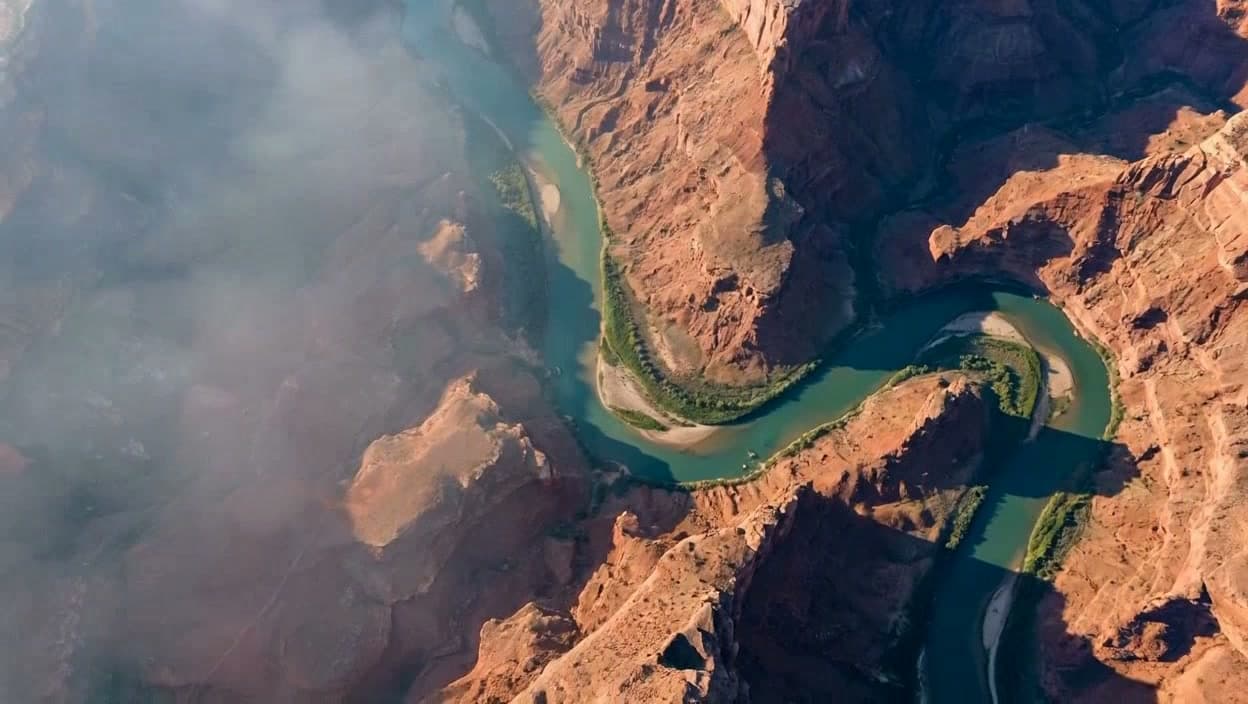
Places that are off-limits, even in “green” airspace
Uncontrolled airspace on the map does not mean “fly anywhere.” The following are restricted regardless of airspace class:
- •National parks: drone takeoff, landing, and operation is prohibited on National Park Service land.
- •Temporary Flight Restrictions (TFRs): sporting events, VIP/Presidential movement, wildfires, and disaster zones.
- •Stadiums and large sporting venues: a standing TFR bans drones within 3 nautical miles from 1 hour before to 1 hour after major games.
- •Restricted, prohibited, and special-use airspace: military ranges, sensitive federal facilities, and Washington, DC's Special Flight Rules Area.
- •Over FAA-designated national-security-sensitive facilities and military sites where specific security restrictions apply.
Educational, not legal advice. Rules current as of July 11, 2026; verify before you fly at faa.gov/uas. The authoritative airspace check and authorization happen through current FAA data and approved providers, not on this page. Sources: FAA UAS airspace and LAANC guidance, FAA B4UFLY, and FAA Part 107.