On this page
What the work is
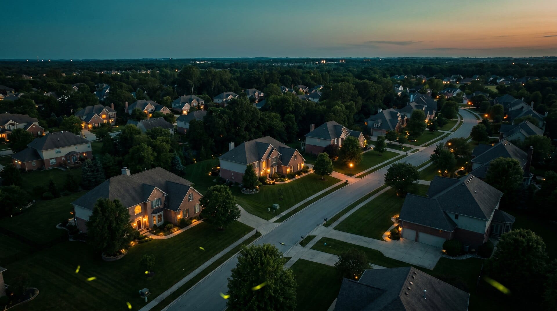
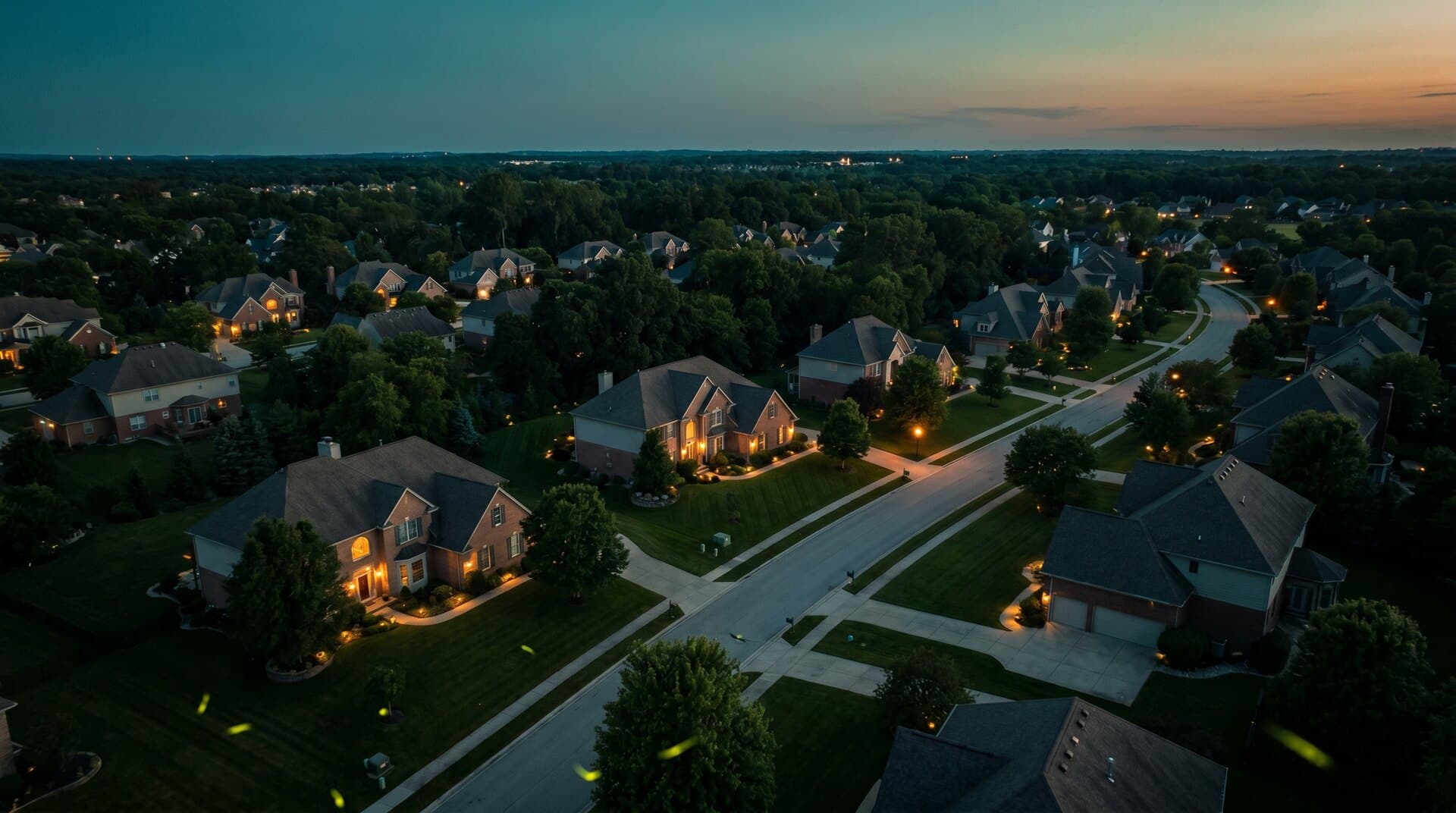
The pilot creates aerial stills and motion that help a buyer understand a property, site, access, neighborhood, setting, or development context. The finished product can include listing images, short video sequences, vertical social cuts, land context, or repeat property documentation. The client buys usable, correctly licensed media, not flight time.
The client question
Which property facts and selling points need aerial context, where will the media be published, and what rights must the agent or owner have for that use?
This is an accessible lane because a compact drone can produce useful work, but price pressure is real. A credible offer includes scheduling, airspace and site checks, a defined shot list, edit limits, turnaround, delivery format, usage rights, reshoot rules, and local MLS compliance. Interior photography, measured floor plans, boundary claims, and virtual staging are separate scopes.
What clients buy
The output defines the job. Name the file, its acceptance test, who reviews it, and what it cannot prove before the aircraft launches.
Listing aerial stills
A concise exterior set that establishes the home, lot, access, nearby context, and important site features without implying a legal boundary or hiding material conditions.
Delivered as
JPEG plus retained camera originals
Property video sequence
Stable establishing, approach, reveal, orbit, and context shots edited to the agreed length, orientation, pace, branding, and music-rights plan.
Delivered as
4K or HD master, web copy, vertical social cut
Land and neighborhood context
Aerial views or a simple annotated orientation image that shows location relationships while clearly distinguishing approximate marketing context from surveyed property lines.
Delivered as
JPEG, short motion clip, annotated PDF or web image
Rights and delivery manifest
The file list, delivery sizes, edit notes, permitted uses, license duration or transfer language, portfolio permission, and any local MLS disclosure requirements.
Delivered as
Gallery or folder plus PDF or contract exhibit
Choose one specialty
Choose a row before choosing gear. Each specialty has its own buyer, acceptance standard, vocabulary, safety system, and person who owns the final conclusion.
Residential listings
BeginnerBuyer and output
Listing agents, brokers, and homeownersExterior aerial stills, short listing clips, neighborhood context, and social crops.
What to learn
Fast scheduling, repeatable shot lists, architectural editing, MLS delivery, and agent communication.
Conclusion owner
The agent or broker confirms local MLS rules and property claims; the pilot owns safe capture and the agreed media license.
Land and development parcels
IntermediateBuyer and output
Land brokers, developers, planners, and ownersSite context, access, nearby infrastructure, progress, and optional planning-grade mapping.
What to learn
Larger-site planning, annotations, mapping limits, environmental context, and repeat capture.
Conclusion owner
A licensed surveyor owns legal boundary, easement, acreage, and survey conclusions.
Commercial property marketing
IntermediateBuyer and output
Commercial brokers, owners, and property managersBuilding and campus media, access and parking context, tenant marketing visuals, and repeat asset imagery.
What to learn
People and vehicle planning, active-site coordination, brand standards, wider rights, and stakeholder review.
Conclusion owner
The property team owns tenant, access, signage, and marketing claims; the pilot documents the agreed view.
Hospitality and destination media
AdvancedBuyer and output
Hotels, resorts, venues, tourism teams, and short-term rental operatorsCampaign footage, amenity context, sunrise or twilight sequences, vertical cuts, and licensed media libraries.
What to learn
Production planning, talent and guest control, weather continuity, advanced editing, music, and broad usage rights.
Conclusion owner
The client or producer clears location, talent, trademark, music, and campaign usage beyond the aerial operation.
From scope to handoff
- Step 1 of 6
Define the marketing decision
Ask what must be understood from the air, the listing date, required files, publishing channels, brand rules, turnaround, property facts, edit limits, and who approves the result.
- Step 2 of 6
Set rights and property access
Document launch permission, areas to avoid, occupants and neighbors, copyright ownership, client license, syndication or MLS rights, portfolio use, and whether digitally altered images require originals or labels.
- Step 3 of 6
Build the legal flight plan
Confirm Part 107 currency, aircraft registration and Remote ID, airspace authorization, NOTAMs and TFRs, local launch restrictions, weather, sun angle, people, traffic, wires, trees, and emergency landing options.
- Step 4 of 6
Shoot the agreed sequence
Capture the essentials first: front and rear context, lot relationship, approach, reveal, orbit where safe, amenities, and neighborhood geography. Check sharpness, exposure, glare, prop shadows, and complete coverage before leaving.
- Step 5 of 6
Edit without changing the property story
Correct lens, perspective, exposure, color, and horizon while preserving material property facts. Treat sky replacement, object removal, virtual staging, boundary graphics, and other alterations according to the client's local listing rules.
- Step 6 of 6
Deliver, license, and archive
Export the requested sizes, preserve originals, provide filenames and rights terms, record client approval, state archive duration, and document what triggers a paid revision or weather reshoot.
Equipment by capability
Buy from the accepted output backward. A more expensive sensor cannot rescue a vague scope, weak method, invalid conditions, or missing review authority.
- Capability 01Compact camera drone
- A dependable sub-250 g or small camera aircraft can cover most residential work when its image quality, wind tolerance, obstacle environment, and legal configuration fit the assignment.
- Capability 02Larger sensor or tele camera
- Useful when the client needs better low-light quality, compressed site context, or a higher-end campaign look. The larger aircraft may add operating, transport, and people-management constraints.
- Capability 03Filters and batteries
- ND filters support controlled video shutter in bright conditions. Spare batteries, cards, charging, and a backup capture plan protect short listing windows.
- Capability 04Ground-media partner
- Interiors, detail photography, measured floor plans, agent interviews, and property walk-throughs are separate skills. Partner or scope them explicitly rather than implying the drone covers the whole listing package.
Software by role
Flight planning, processing, GIS, asset analysis, client delivery, and job sourcing are different jobs. Confirm aircraft, controller, payload, operating-system, export, storage, and offline compatibility before paying for a subscription.
- Adobe Lightroom Classic
Role
Ingest, metadata, lens and perspective correction, photo finishing, naming, and export presets
Use it when
The client needs a consistent still-photo set, controlled output sizes, and a traceable file workflow.
- DaVinci Resolve
Role
Editing, color, audio, titles, review exports, and final delivery
Use it when
The package includes motion and you need a complete post-production path without tying the workflow to one aircraft brand.
- Frame.io
Role
Client review, annotations, versions, approvals, and protected sharing
Use it when
An agent, brokerage, owner, or campaign team needs controlled feedback before final delivery.
- Local MLS guidance
Role
Image size, branding, disclosure, alteration, retention, and rights requirements
Use it when
Every listing assignment. The exact rules belong to the MLS or brokerage receiving the media.
Need the whole ecosystem? Open the drone work software guide.
How to learn the work
- Step 1 of 5
Learn the property-media contract
Practice writing a one-page scope with shot count, turnaround, weather, revisions, cancellation, delivery, copyright, client license, MLS use, and portfolio permission.
- Step 2 of 5
Build one repeatable shot language
Create a restrained list of establishing, approach, reveal, orbit, top-down, amenity, and neighborhood shots. Learn when each communicates something useful and when it is only motion.
- Step 3 of 5
Practice architectural editing
Correct exposure, color, lens distortion, perspective, horizon, and export size while preserving an honest property record. Save consistent presets, then inspect every image rather than applying them blindly.
- Step 4 of 5
Study your local delivery system
Ask local agents or the MLS about file size, aspect ratio, branding, digitally altered image disclosures, original-image requirements, syndication, and reuse after the listing closes.
- Step 5 of 5
Sell a defined package
Offer a clear service radius, image range, motion add-on, turnaround, weather policy, rights scope, and starting price. Measure total time from booking through archive, not only minutes in the air.
A starter project worth showing
Field assignment
Create a complete permissioned listing package
With written property permission, produce a small residential or commercial listing set, a short edit, an honest rights and alteration note, and a delivery folder that a real agent could publish.
Acceptance checklist
- Property and launch permission are documented
- The shot list answers specific marketing questions
- No legal boundary or unsupported property claim is implied
- Still and video exports meet a stated destination specification
- Copyright, client license, portfolio use, revisions, and archive duration are explicit
Where the pilot role stops
Do not sell past your competence
- Limit 01Part 107 and airspace authorization do not grant property access, privacy clearance, or permission to launch from someone else's land.
- Limit 02The photographer is generally the initial copyright owner. Payment and file delivery do not automatically transfer copyright; licenses and work-made-for-hire language need deliberate written treatment.
- Limit 03MLS image, branding, editing, disclosure, rights, and retention rules vary. Confirm the actual receiving system instead of assuming one national standard.
- Limit 04Aerial context and drawn parcel graphics are not legal boundary, survey, easement, acreage, or title conclusions.
Primary sources
These links are the starting point for current rules, methods, and professional boundaries. Vendor documentation explains a product; it does not replace the FAA, a regulator, a project specification, or a qualified reviewer.
- FAA commercial operators
Part 107 operating baseline and links to current commercial rules.
- FAA operations over people
Aircraft-category and operating-pattern conditions for people and moving vehicles.
- U.S. Copyright Office for photographers
Copyright ownership, registration, licensing, and enforcement context for photographers.
- Copyright Office Circular 30
The limited statutory conditions for work made for hire.
- National Association of Realtors drone guidance
Client due-diligence, insurance, privacy, copyright, and contract considerations.
- NAR MLS copyright considerations
Why the listing participant needs an adequate chain of media rights.
- CRMLS digitally altered image guidance
A regional example of alteration labels and original-image requirements; local rules differ.
Next steps
Open the guide or tool that matches the next decision.
- Better aerial footageBuild deliberate camera movement, exposure, composition, and editing habits.
- Drone job profit calculatorPrice travel, capture, editing, delivery, insurance, reserve, and admin time.
- Commercial drone insuranceMatch aviation, equipment, and client certificate requirements to the assignment.
- Real estate drone providersSee how current companies describe property-media services in the national directory.
- Build the mission equipment systemChoose the minimum aircraft, payload, power, field, software, QA, and delivery stack.
- Build the portfolio proofTurn this work into a permissioned sample with a brief, method, finished files, QA evidence, and handoff.
- Build the legal requirement stackCheck mission, airspace, people, night, aircraft, and approval triggers.
- Price the entire missionInclude travel, capture, processing, subscriptions, insurance, reserve, and tax.
- Build the operating briefRecord the crew, aircraft, site, weather, hazards, mitigations, contingencies, and flight outcome.
- Build the system around this workConnect the deliverable to its aircraft, payload, software, support, and approval path.
- Hire an experienced providerSearch the national directory when the mission is beyond your current aircraft, training, or risk tolerance.