Drone Authority · Guides · Industries
Drones in energy & utilities (2026)
By Joel Kelly
Last updated July 18, 2026. Regulations and hardware availability move quickly: verify current rules before operating.
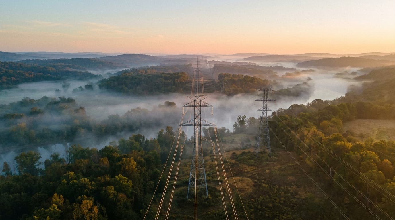
Energy is the deep end of enterprise drone work: the assets are linear (transmission corridors, pipelines), hazardous (live conductors, turbine heights), and regulated, which is exactly why the sector pays for serious payloads, BVLOS programs, and docked automation. It's the vertical where LiDAR, radiometric thermal, and gas detection stop being exotic and become the job description.
The standard missions
- •Transmission & distribution inspection. Zoom + thermal on towers, insulators, and conductors: replacing helicopter passes and climb-outs; LiDAR for vegetation-encroachment clearance surveys.
- •Solar farm thermography. Radiometric thermal at scale: hot cells, string outages, and diode failures found in hours across megawatt sites.
- •Wind turbine blades. High-resolution imaging of blade surfaces without rope teams or extended downtime.
- •Pipeline & methane surveys. TDLAS laser methane detection and OGI thermal along rights-of-way: increasingly regulator-driven work.
- •Storm response & damage assessment. Rapid post-event assessment feeding restoration prioritization: the mission that converts skeptical executives.
Hardware reality
Utility fleets skew compliant and heavy: critical-infrastructure operators face customer, insurer, and increasingly regulatory pressure toward vetted supply chains even where law doesn't yet mandate it. Typical stack: Skydio for automated close-in inspection, heavy-lift compliant airframes (IF800-class, Alta X) carrying LiDAR and gas payloads, fixed-wing VTOL for corridor mapping, and docks for recurring patrol of substations and critical spans.
The regulatory picture
Energy is the BVLOS frontier: corridor inspection economics only work when one crew can fly the line, not drive to re-position every mile, which is why utilities hold many of the FAA's precedent-setting BVLOS waivers and why Part 108 matters more here than anywhere. Add UAS-facility-map coordination around plants, critical-infrastructure protections at sites, and NEPA-adjacent considerations on federal corridors. Docked automation for substation patrol runs on the same waiver architecture as DFR.
Deep dives: Part 108 BVLOS tracker · Critical infrastructure rules · Thermal, LiDAR & gas payloads
Frequently asked questions
- Why do utilities use drones instead of helicopters?
- Cost, risk, and data quality. Drone crews inspect towers at a fraction of helicopter hourly cost, remove humans from climb and hover-inspection risk, and capture closer, more repeatable imagery. Helicopters still win on long-corridor speed, which is exactly the gap BVLOS drone programs and docks are closing.
- What payloads does energy inspection work require?
- The standard kit: 640-class radiometric thermal plus high-resolution zoom for electrical inspection, LiDAR for vegetation management and clearance surveys, and TDLAS/OGI for gas work. It's the most payload-intensive vertical: see our payloads guide for how each sensor earns its place.
- Is energy drone work a good career path?
- It's among the best-paying Part 107 niches: utilities and their inspection contractors hire year-round, the skills (thermography certification, LiDAR workflows, BVLOS operations) compound, and the work is recurring rather than project-based. Thermography Level 1 certification plus utility inspection experience is a durable resume.
Keep going
Educational, not legal advice. FAA rules, procurement law, and hardware availability change quickly: verify current requirements at faa.gov and with counsel before operating.