
Synchronized capture
The 20 MP RGB camera and four multispectral cameras are time synchronized. The aircraft also carries a sunlight sensor and RTK module, but those inputs still need a defined calibration and processing method.
Aircraft dossier / Manufacturer claims separated from operating analysis
Multispectral crop intelligence and mapping system
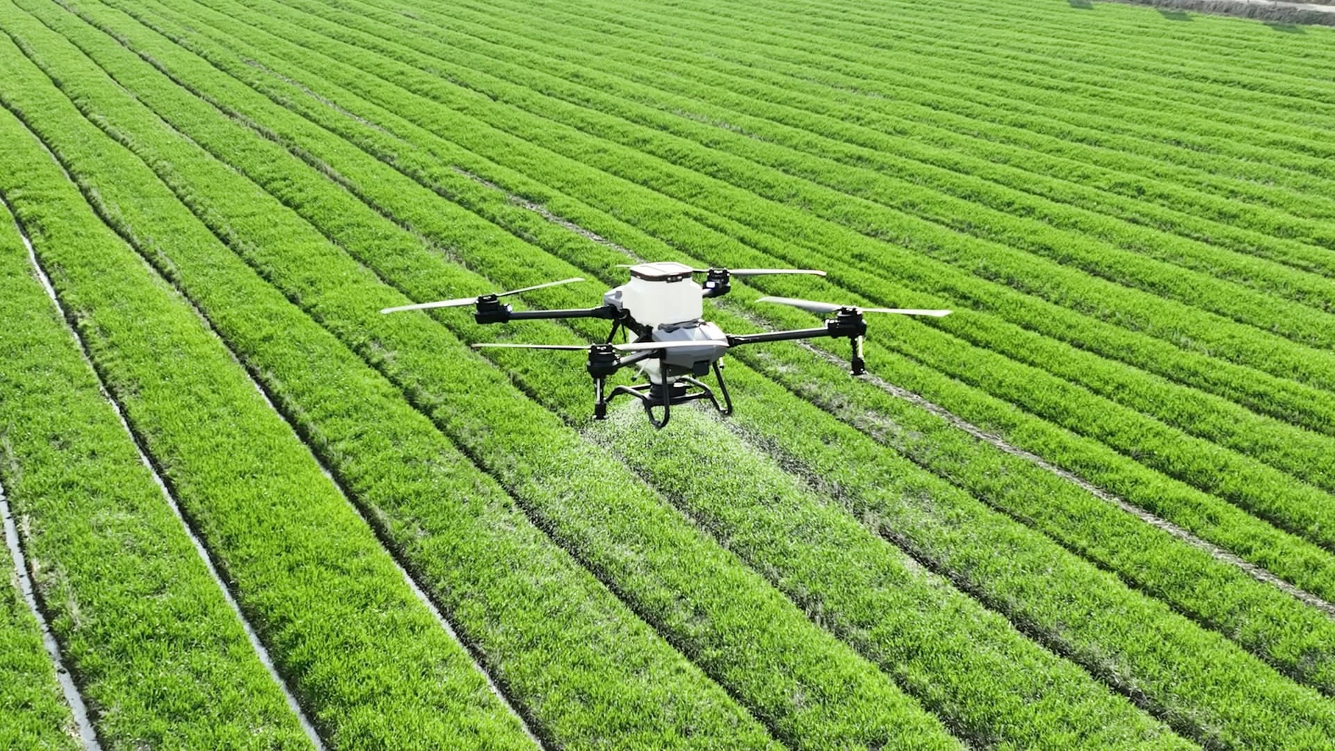
The Mavic 3M is an observation and mapping aircraft. It combines a mechanical-shutter RGB camera with four multispectral bands and RTK positioning, but the aircraft does not diagnose a crop or create a defensible recommendation on its own.
Product image: Official DJI Enterprise product image
Decision brief
Best fit: Agronomists, crop consultants, researchers, forestry teams, co-ops, and pilots working inside a qualified crop-intelligence or vegetation-monitoring program.
Published configuration
These are manufacturer-published specifications, not independent field measurements. The context matters as much as the number.
Mechanical shutter, 24 mm equivalent lens, adjustable f/2.8-f/11 aperture.
Green 560 nm, red 650 nm, red edge 730 nm, and near infrared 860 nm bands.
DJI publishes centimeter-level positioning and synchronized camera timing. Accuracy still depends on the complete control and processing workflow.
Manufacturer test maximum in windless sea-level conditions to 0% battery. Plan normal reserves.
Published net weight with propellers and RTK module. Part 107 registration and Remote ID apply in normal U.S. commercial use.
A manufacturer test claim, not a universal job estimate. GSD, overlap, light, terrain, wind, reserve, and field geometry change coverage.
Operating system
Dealer or enterprise purchase. Quote the aircraft with the RC Pro Enterprise, batteries, charging, RTK service or base workflow, calibration target if required, processing software, storage, support, training, and data-delivery method.
The 20 MP RGB camera and four multispectral cameras are time synchronized. The aircraft also carries a sunlight sensor and RTK module, but those inputs still need a defined calibration and processing method.
Altitude, ground sample distance, overlap, solar angle, exposure, field boundary, terrain, wind, route direction, crop stage, and repeat timing determine whether two missions are meaningfully comparable.
The aircraft produces images. Software creates orthomosaics and indices. Ground observations, crop expertise, calibration, and a qualified analyst determine what a pattern means and whether it supports action.
A buyer needs field identity, date, crop stage, weather, sensor settings, calibration, coordinate reference system, processing method, excluded areas, ground truth, outputs, and interpretation limits.
Operating fit
Use repeatable RGB and multispectral layers to locate relative variation and direct field inspection. Do not convert color differences directly into a diagnosis.
A synchronized sensor package can support plot comparison when the study controls capture timing, calibration, treatment layout, ground observations, and statistical method.
The sensor can document vegetation patterns and change, but canopy structure, species, season, moisture, terrain, shadows, and validation still shape the interpretation.
United States
This is an educational overview. Confirm the current aircraft, operation, exemptions, certificates, state credentials, labels, airspace, and local conditions before operating.
In the United States, paid mapping or crop-intelligence work normally starts with Part 107, aircraft registration, Remote ID, airspace authorization where required, and a lawful launch site.
A published 200-hectare or 15 km capability does not authorize BVLOS. Route design must remain within the operator's actual authority and site conditions.
Aerial data collection does not automatically authorize agronomic advice, surveying, engineering, pesticide recommendations, or another state-regulated professional conclusion.
The Mavic 3M observes. It does not dispense material, so Part 137 does not arise from the imaging mission itself. A later spray operation has its own approval stack.
Field cycle
Name the field decision, crop stage, comparison unit, delivery deadline, analyst, ground-truth partner, and action the output may support before choosing an index.
Control solar angle, route, altitude, overlap, exposure, focus, RTK status, calibration, weather, crop condition, and deviations. DJI recommends good light with a solar altitude of at least 30 degrees.
Record software, version, coordinate system, radiometric or vignetting corrections, calibration, index formula, masks, ground control or checkpoints, and quality checks.
Send the analyst or agronomist to representative zones, record observations, separate correlation from cause, and deliver both the map and the method limits.
Before requesting a quote
Sources
DJI Enterprise
Sensor configuration, RTK, positioning, official use cases, and procurement.
DJI Enterprise
Weight, flight time, cameras, bands, positioning, operating environment, and aircraft limits.
DJI Enterprise
Digital-number output, vignetting, time sync, solar angle, GSD, batteries, controls, and software behavior.
DJI Enterprise
Manufacturer workflow for capture, processing, vegetation indices, and prescription-map context.