A DHS test of Blue UAS drones found link drops, GPS trouble, and setup times most responders called unacceptable
The DHS lab that tests responder equipment flew six Blue UAS platforms in Texas, Miami, and Manhattan. Skydio's X10D scored best. Three aircraft could not be fully assessed among Manhattan's high-rises.
By Joel Kelly
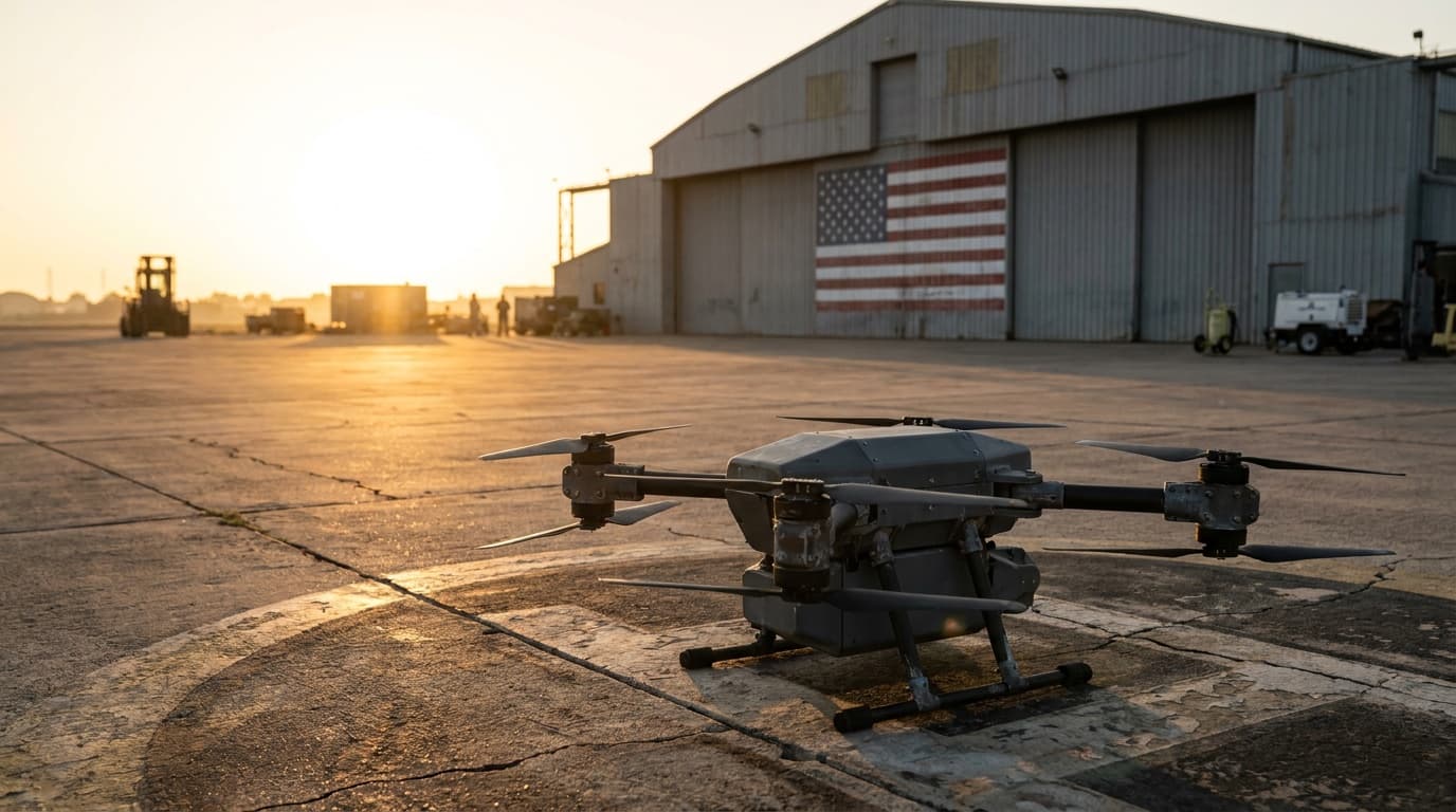
Decision brief
A Blue UAS listing tells an agency the aircraft passed security and sourcing review. The DHS report says plainly that it does not say whether the drone can do public-safety work. If your agency is replacing Chinese drones, fly the exact configuration in your own environment before you buy. The public report has per-aircraft scores, and agencies can request the covered-nation results from the lab.
- Report
- SAVER-T-R-39
- Top score
- 4.0
- Evaluators
- 26 pilots
DHS S&T, National Urban Security Technology Laboratory, published Sept. 17, 2026
Skydio X10D in Miami; 3.7 in Manhattan
Federal, state, and local responders across three assessments
What DHS tested
Six Blue UAS configurations, three cities, one scale.
The Department of Homeland Security's National Urban Security Technology Laboratory published the report, Blue UAS for First Responders Comparative Assessment Report (SAVER-T-R-39), on September 17. Its SAVER program ran three field assessments: rural College Station, Texas, in June 2024, urban Miami in November 2024, and the Hudson Yards area of New York City in July 2025. Twenty-six experienced remote pilots from federal, state, and local agencies scored each aircraft from 1 to 5, where 5 means it exceeded their expectations.
Six configurations were tested. Skydio's X10D scored highest, 4.0 in Miami and 3.7 in Manhattan, at $28,382 as tested. Freefly's Astro scored 3.5 in Miami. Parrot's ANAFI USA GOV, the cheapest at $13,964, scored between 2.4 and 3.3 across the four events. Ascent AeroSystems' Spirit, at $56,195, scored 3.1 to 3.3. Teal 2 scored 2.7 to 3.2, and Skydio's older X2D scored 3.1 in both rural events. Prices are for the configurations as assessed.
What went wrong
GPS, radio links, and setup time.
The report found four problems across the field. GPS could not be relied on for positioning among tall buildings, so pilots spent their attention holding position instead of using the cameras. Links between controller and aircraft dropped as close as 50 feet from launch in some cases. Deployment time was unacceptable for most evaluators, because of disconnections, resets, GPS lock and Remote ID failures, and pre-launch calibration. Cost was the fourth barrier.
Why it matters
Blue means secure, not proven for the mission.
In Manhattan, the Spirit and the Astro could not be fully assessed because neither could reliably hold position, and evaluators could not safely launch the Teal 2 without a GPS lock. Covered-nation drones, meaning aircraft from countries restricted under federal law, were flown alongside the Blue UAS in New York. DHS left those results out of the public report and says agencies can request them from the lab. The report also states that the Blue designation does not address whether a drone can perform the functions public safety needs.
Source file
Verify the reporting
Continue on Drone Authority
Put the report to work
Continue this beat
More public safety reporting
Industry · July 23, 2026
Two Skydio aircraft cleared Blue UAS, but only in specific configurations
Safety · September 9, 2026
St. Paul pulled its $200,000 drone grant the week Bellevue approved one and a Boston police drone landed on a car
Safety · August 28, 2026