DGAC Costa Rica
Costa Rica
Permit path requiredRecreational rules are clear; commercial needs DGAC
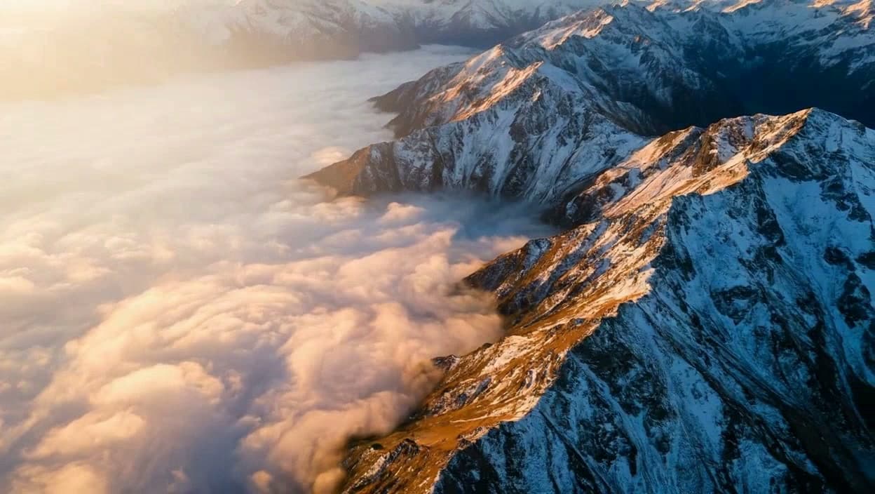
Costa Rica can be drone-friendly, but parks, wildlife, towns, outdoor events, airports, and commercial shoots are where people get surprised.
Bring it
Park rules often matter more than customs for travel photographers. Permission from the land or park manager can be decisive.
Register it
Use DGAC drone services and the drone registry where your operation requires it.
Fly it
DGAC indicates recreational drones do not need registration, but pilots must follow AIC limits, daylight/VMC, distance, and no-over-people or town restrictions.
Map check
Check DGAC AIS/MAP, airport RPAS restrictions, heliports, national parks, and protected areas before launch.
Before you travel
- 01Confirm whether the operation is recreational or commercial/non-recreational.
- 02Use DGAC forms and registry services where required.
- 03Ask national park, wildlife-area, town, event, or private land managers before launching.
Operating notes
- Max altitude
- 120 m / 400 ft AGL in uncontrolled airspace unless DGAC authorizes otherwise.
- Recreational
- DGAC indicates recreational drones do not need registration, but pilots must follow AIC limits, daylight/VMC, distance, and no-over-people or town restrictions.
- Commercial work
- Commercial/non-recreational use requires DGAC application/certification steps and can trigger drone registry or exploitation-certificate paperwork.
- Airspace
- Check DGAC AIS/MAP, airport RPAS restrictions, heliports, national parks, and protected areas before launch.